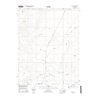
2014 Map of The Notch
USGS Topo · Published 2014About this map
Hanksville serves as a vital desert hub at the southern edge of this landscape, situated where the Fremont River and Muddy Creek converge to form the Dirty Devil River. The map documents a rugged junction of water and stone, showing the town's essential infrastructure including the Hanksville Airport and the Hanksville Cem. A complex network of local roads like E Hanksville Cemetery Rd and River Bend Rd fan out from the settlement to reach into the surrounding terrain.
Find a feature on this map
42 named features on this map. Tap any name to fly to it.
Don’t see what you’re looking for? This feature index may not catch every label — zoom into the map to look around manually.
Map Details
Editions of this 2014 The Notch Map
This is the sole edition of this map. No revisions or reprints were ever made.
Other maps of this area

1885 · San Rafael
USGS Topo · 1:250,000

1952 · Wild Horse
USGS Topo · 1:62,500

1953 · Temple Mtn
USGS Topo · 1:62,500

1954 · Stinking Springs Creek 4 SW
USGS Topo · 1:24,000

1954 · Stinking Spring Creek 3 SE
USGS Topo · 1:24,000

1954 · Stinking Spring Creek 4 SE
USGS Topo · 1:24,000

1954 · Mt. Ellen 2 SE
USGS Topo · 1:24,000

1954 · Mt. Ellen 1 NW
USGS Topo · 1:24,000

1954 · Mt. Ellen 2 NE
USGS Topo · 1:24,000

1954 · Mt. Ellen 1 SW
USGS Topo · 1:24,000