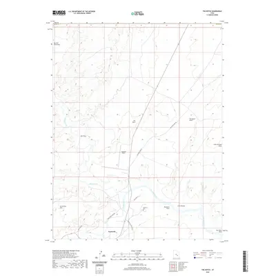
2020 Map of The Notch
USGS Topo · Published 2020About this map
Hanksville serves as the focal point of this Wayne County landscape, situated where the Fremont River and Muddy Creek converge to form the Dirty Devil River. This 2020 survey documents the modern layout of the community, showing the proximity of the Hanksville Airport and the Hanksville Cem just north of the residential core. The surrounding terrain is defined by dramatic geological features, including the rising heights of Big Wild Horse Mesa to the northwest and the arid expanse of the San Rafael Desert to the east.
Find a feature on this map
21 named features on this map. Tap any name to fly to it.
Don’t see what you’re looking for? This feature index may not catch every label — zoom into the map to look around manually.
Map Details
Editions of this 2020 The Notch Map
This is the sole edition of this map. No revisions or reprints were ever made.
Other maps of this area

1885 · San Rafael
USGS Topo · 1:250,000

1952 · Wild Horse
USGS Topo · 1:62,500

1953 · Temple Mtn
USGS Topo · 1:62,500

1954 · Stinking Springs Creek 4 SW
USGS Topo · 1:24,000

1954 · Stinking Spring Creek 3 SE
USGS Topo · 1:24,000

1954 · Stinking Spring Creek 4 SE
USGS Topo · 1:24,000

1954 · Mt. Ellen 2 SE
USGS Topo · 1:24,000

1954 · Mt. Ellen 1 NW
USGS Topo · 1:24,000

1954 · Mt. Ellen 2 NE
USGS Topo · 1:24,000

1954 · Mt. Ellen 1 SW
USGS Topo · 1:24,000