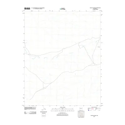
2010 Map of The Pillar NW
USGS Topo · Published 2010About this map
Pinabete Arroyo meanders across this high desert landscape, carving a primary drainage pattern through the arid terrain of northwestern New Mexico. The geography is defined by subtle elevation shifts and the prominent landmark known as The Pillar, which stands as a clear navigational point in an otherwise open expanse. This 2010 survey by the U.S. Geological Survey illustrates a region largely characterized by its natural watercourses and sparse road network, reflecting the enduring environmental character of the Shiprock Agency area. The map provides a precise record of these ephemeral streams and topographical contours before further modern development or environmental shifts altered the surface hydrology.
Find a feature on this map
2 named features on this map. Tap any name to fly to it.
Don’t see what you’re looking for? This feature index may not catch every label — zoom into the map to look around manually.
Map Details
Editions of this 2010 The Pillar NW Map
This is the sole edition of this map. No revisions or reprints were ever made.
Other maps of this area
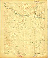
1889 · Chaco
USGS Topo · 1:250,000
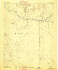
1892 · Chaco
USGS Topo · 1:250,000
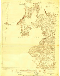
1927 · Sulphur Spring
USGS Topo · 1:96,000
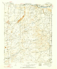
1928 · Kirtland
USGS Topo · 1:125,000
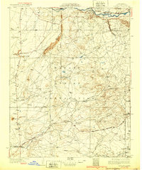
1932 · Kirtland
USGS Topo · 1:125,000

1954 · Shiprock
USGS Topo · 1:250,000
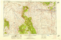
1958 · Shiprock
USGS Topo · 1:250,000
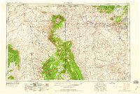
1959 · Shiprock
USGS Topo · 1:250,000
1966 · Newcomb NE
USGS Topo · 1:24,000
1966 · Burnham Trading Post
USGS Topo · 1:24,000