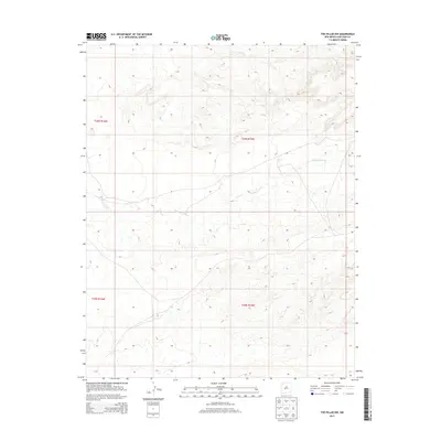
2013 Map of The Pillar NW
USGS Topo · Published 2013About this map
Pinabete Arroyo carves a winding path through this corner of the San Juan Basin, serving as the primary drainage feature in a landscape defined by sharp elevation shifts and high-desert terrain. This 2013 survey by the U.S. Geological Survey documents the intersection of several township and range boundaries, including t26n r16w and t26n r15w, which frame the northwestern and northeastern sectors of the map. The sparse settlement patterns reflected here emphasize the arid nature of the region, where land management and the natural course of seasonal water ways dictate the local geography within the Shiprock Agency area. Researchers can trace the complex contour lines that define the mesas and drainages north of the Chaco River system.
Find a feature on this map
5 named features on this map. Tap any name to fly to it.
Don’t see what you’re looking for? This feature index may not catch every label — zoom into the map to look around manually.
Map Details
Editions of this 2013 The Pillar NW Map
This is the sole edition of this map. No revisions or reprints were ever made.
Other maps of this area
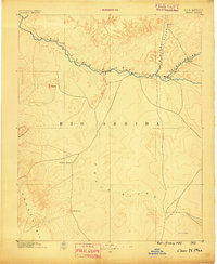
1889 · Chaco
USGS Topo · 1:250,000
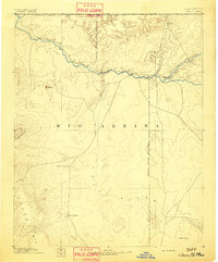
1892 · Chaco
USGS Topo · 1:250,000
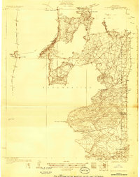
1927 · Sulphur Spring
USGS Topo · 1:96,000
1928 · Kirtland
USGS Topo · 1:125,000
1932 · Kirtland
USGS Topo · 1:125,000

1954 · Shiprock
USGS Topo · 1:250,000
1958 · Shiprock
USGS Topo · 1:250,000
1959 · Shiprock
USGS Topo · 1:250,000
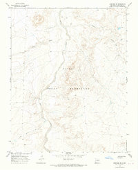
1966 · Newcomb NE
USGS Topo · 1:24,000
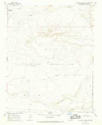
1966 · Burnham Trading Post
USGS Topo · 1:24,000