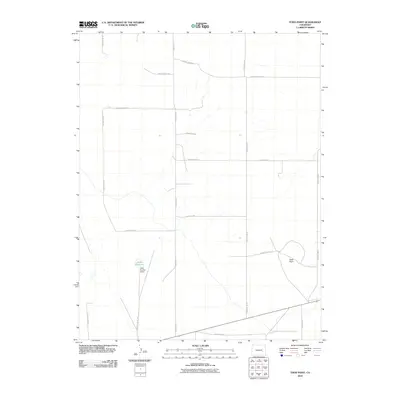
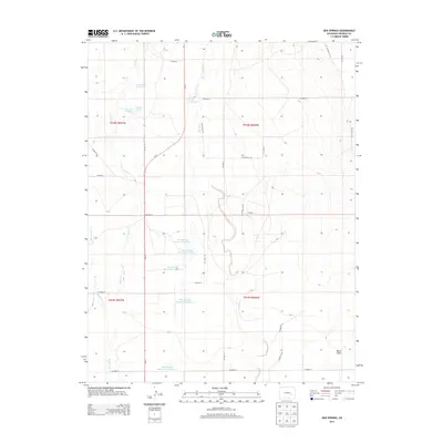
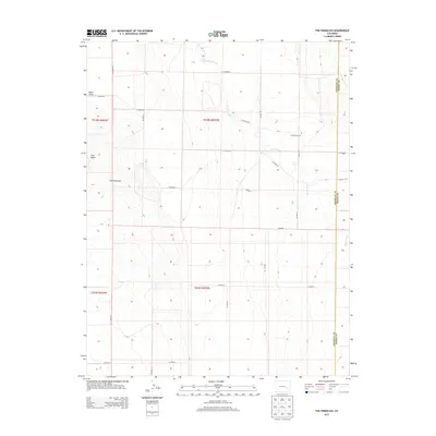
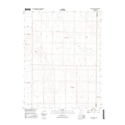
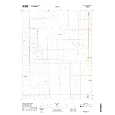
1977 Map of The Pinnacles
USGS Topo · Published 1978About this map
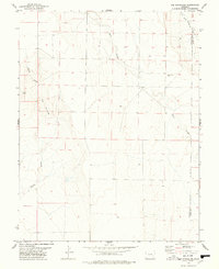
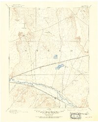
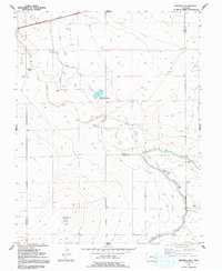
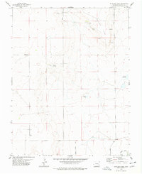
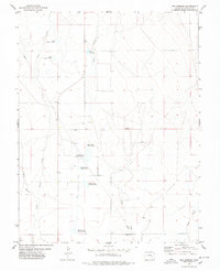
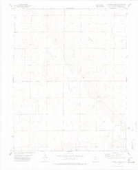
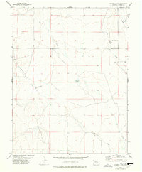
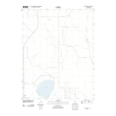
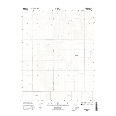
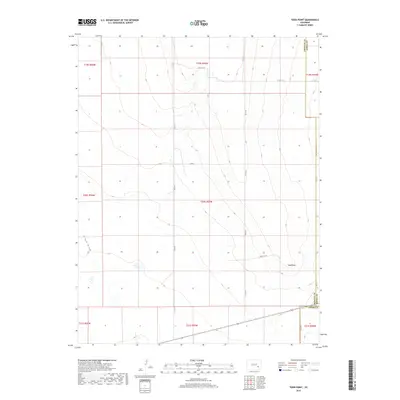
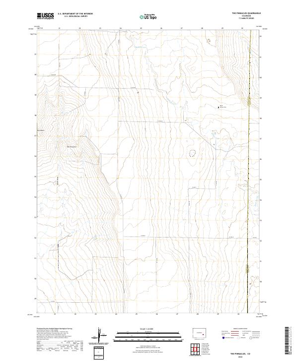
The Pinnacles rise as a distinct geological formation above the high plains of the Crowley County and Kiowa County border in this 1970s topographic study. The landscape is defined by its intermittent drainage patterns, most notably the winding course of Sand Arroyo and the deep seasonal cuts of Black Draw. This survey captures the rural character of the eastern Colorado plains, where human presence is marked by isolated infrastructure like a lone tank or well and the quiet presence of the Sand Arroyo Cem. The map illustrates the harsh, arid environment of the High Plains, with terrain features like Cow Butte providing navigational landmarks for ranchers and residents near the upper reaches of South Fork Mustang Creek.
Find a feature on this map
9 named features on this map. Tap any name to fly to it.
Don’t see what you’re looking for? This feature index may not catch every label — zoom into the map to look around manually.
Map Details
Editions of this 1977 The Pinnacles Map
This is the sole edition of this map. No revisions or reprints were ever made.
Historical Maps of Kiowa County Through Time
56 maps found

1891 Catlin
Crowley County, CO
1893 Catlin
Crowley County, CO
1954 Meredith Hill
Crowley County, CO
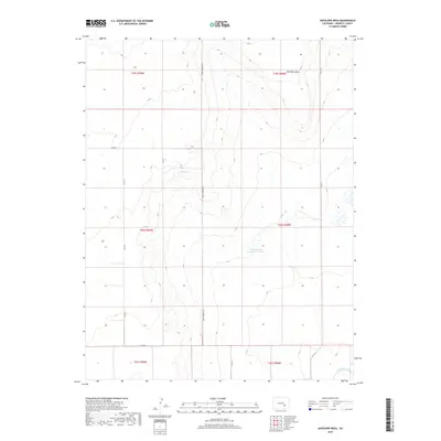
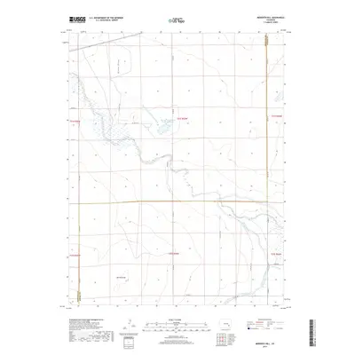
1977 Antelope Mesa
Crowley County, CO
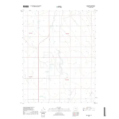
1977 Box Springs
Crowley County, CO
1977 The Pinnacles
Crowley County, CO
1977 Todd Point
Crowley County, CO
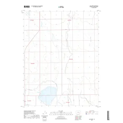
1978 Lake Henry
Crowley County, CO
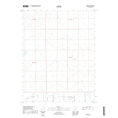
1978 Nero Hill
Crowley County, CO
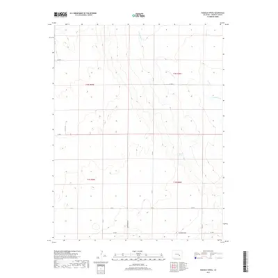
1978 Ninemile Spring
Crowley County, CO
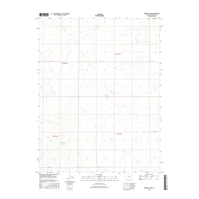
1978 Windmill Lake
Crowley County, CO
2010 Antelope Mesa
Crowley County, CO
2010 Box Springs
Crowley County, CO
2010 Lake Henry
Crowley County, CO
2010 Meredith Hill
Crowley County, CO
2010 Nero Hill
Crowley County, CO
2010 Ninemile Spring
Crowley County, CO
2010 Todd Point
Crowley County, CO
2010 Windmill Lake
Crowley County, CO
2011 The Pinnacles
Crowley County, CO
2013 Antelope Mesa
Crowley County, CO
2013 Box Springs
Crowley County, CO
2013 Lake Henry
Crowley County, CO
2013 Meredith Hill
Crowley County, CO
2013 Nero Hill
Crowley County, CO
2013 Ninemile Spring
Crowley County, CO
2013 The Pinnacles
Crowley County, CO
2013 Todd Point
Crowley County, CO
2013 Windmill Lake
Crowley County, CO
2016 Antelope Mesa
Crowley County, CO
2016 Box Springs
Crowley County, CO
2016 Lake Henry
Crowley County, CO
2016 Meredith Hill
Crowley County, CO
2016 Nero Hill
Crowley County, CO
2016 Ninemile Spring
Crowley County, CO
2016 The Pinnacles
Crowley County, CO
2016 Todd Point
Crowley County, CO
2016 Windmill Lake
Crowley County, CO
2019 Antelope Mesa
Crowley County, CO
2019 Box Springs
Crowley County, CO
2019 Lake Henry
Crowley County, CO
2019 Meredith Hill
Crowley County, CO
2019 Nero Hill
Crowley County, CO
2019 Ninemile Spring
Crowley County, CO
2019 The Pinnacles
Crowley County, CO
2019 Todd Point
Crowley County, CO
2019 Windmill Lake
Crowley County, CO
2022 Antelope Mesa
Crowley County, CO
2022 Box Springs
Crowley County, CO
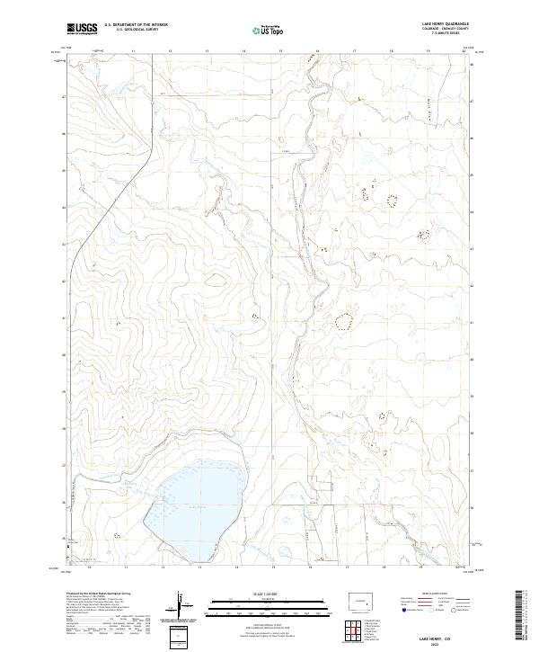
2022 Lake Henry
Crowley County, CO
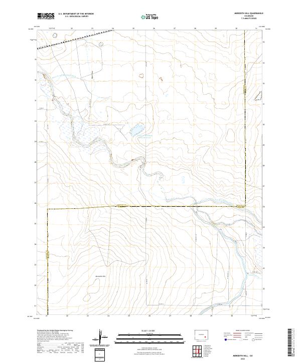
2022 Meredith Hill
Crowley County, CO
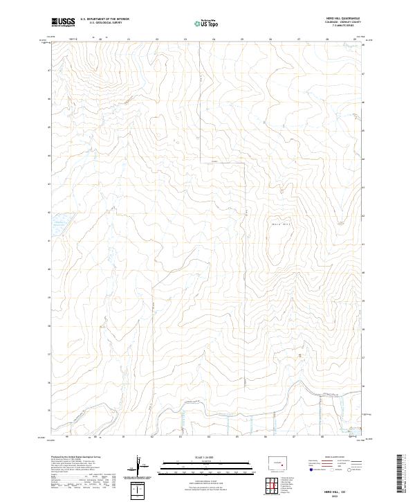
2022 Nero Hill
Crowley County, CO
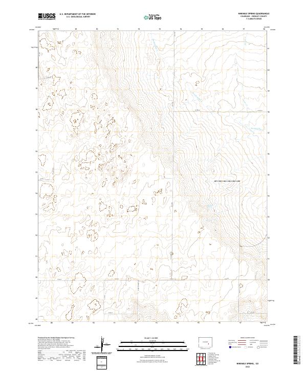
2022 Ninemile Spring
Crowley County, CO
2022 The Pinnacles
Crowley County, CO
2022 Todd Point
Crowley County, CO
2022 Windmill Lake
Crowley County, CO