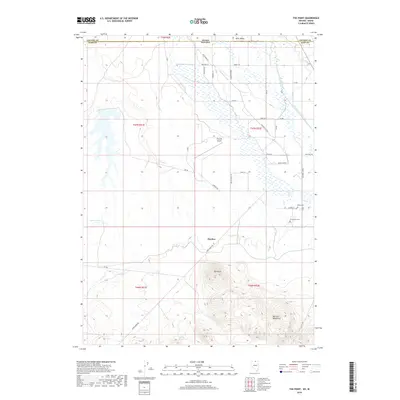
2018 Map of The Point
USGS Topo · Published 2018About this map
Owyhee serves as a central hub on the edge of Duck Valley in this northern Nevada landscape, where the Idaho border meets the high desert. The map captures a complex irrigation network essential for ranching and agriculture, dominated by the Thacker Lateral and White Rock Lateral feeding off the Owyhee River. This 2018 survey reveals a distinct cultural geography through its family and community burial sites, including the Smith Cem, Premo Cem, and the historically significant Chinatown Cem. To the south, the terrain rises sharply into the Bull Run Mountains, featuring prominent landmarks like The Point and isolated water sources such as Thacker Spring and Gold Spring. The presence of the Owyhee Airport and a grid of local routes like Keefe Loop Rd and BIA Rd illustrates the modern infrastructure supporting this remote tri-state corner.
Find a feature on this map
37 named features on this map. Tap any name to fly to it.
Don’t see what you’re looking for? This feature index may not catch every label — zoom into the map to look around manually.
Map Details
Editions of this 2018 The Point Map
This is the sole edition of this map. No revisions or reprints were ever made.
Other maps of this area
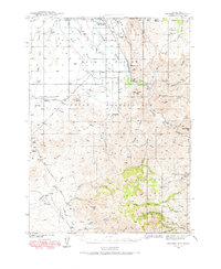
1939 · Owyhee
USGS Topo · 1:62,500
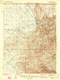
1942 · Owyhee
USGS Topo · 1:62,500

1955 · McDermitt
USGS Topo · 1:250,000

1955 · Jordan Valley
USGS Topo · 1:250,000

1957 · Jordan Valley
USGS Topo · 1:250,000

1958 · Jordan Valley
USGS Topo · 1:250,000

1959 · McDermitt
USGS Topo · 1:250,000
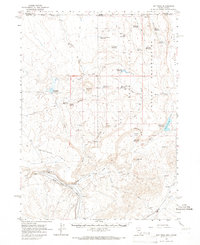
1964 · Hat Peak
USGS Topo · 1:62,500
1970 · Ungina Wongo
USGS Topo · 1:24,000
1971 · Juniper Basin SE
USGS Topo · 1:24,000