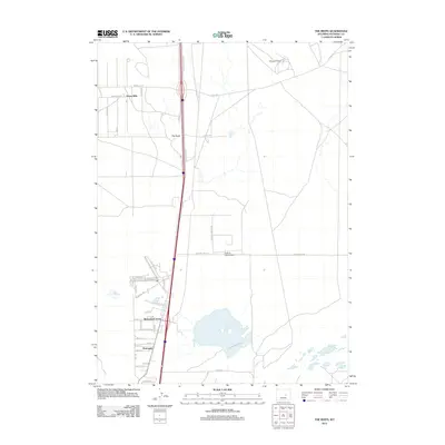
2012 Map of The Reefs
USGS Topo · Published 2012About this map
Midway Oil Field sits in the northeast corner of this landscape, marking the energy production that has long defined the region's economy. The terrain is structured by a network of industrial and local roads, with the Salt Creek Hwy serving as the primary north-south artery. Small residential developments and clusters such as Homa Hills and Richardson Acres appear as organized grids against the open land. The presence of Harford Field Airport and the nearby Harford Airfield Rd highlights the local infrastructure supporting this part of Natrona County. Smaller named places like The Reefs and Hartrandt provide important reference points for genealogists tracking local growth and settlement patterns in the early 21st century.
Find a feature on this map
42 named features on this map. Tap any name to fly to it.
Don’t see what you’re looking for? This feature index may not catch every label — zoom into the map to look around manually.
Map Details
Editions of this 2012 The Reefs Map
This is the sole edition of this map. No revisions or reprints were ever made.
Other maps of this area

1949 · Brookhurst
USGS Topo · 1:24,000

1949 · Pratts Soda Lakes
USGS Topo · 1:24,000

1950 · Brookhurst
USGS Topo · 1:24,000

1950 · Pratts Soda Lakes
USGS Topo · 1:24,000

1950 · Goose Egg
USGS Topo · 1:24,000

1951 · The Reefs
USGS Topo · 1:24,000

1951 · Casper
USGS Topo · 1:24,000

1952 · Bishop
USGS Topo · 1:24,000

1955 · Arminto
USGS Topo · 1:250,000

1955 · Casper
USGS Topo · 1:250,000