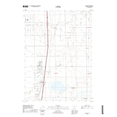
2017 Map of The Reefs
USGS Topo · Published 2017About this map
The Reefs provides a distinct topographic backdrop for the northern reaches of Casper in this modern survey. The map details the transition from urban expansion to high plains terrain, notably centered around the town of Bar Nunn, which occupies the grounds of a former airport. This unique development pattern is visible in the street names like Zuni Trl and Lakota Trl that radiate through the residential sections. To the east, Harford Field and the waters of Ninemile Lake break the landscape, while the corridor along Salt Creek Hwy connects several outlying communities. Smaller residential enclaves such as Richardson Acres, Hartrandt, and Homa Hills are documented here, showing the scattered settlement footprints northward toward the edge of Evansville.
Find a feature on this map
77 named features on this map. Tap any name to fly to it.
Don’t see what you’re looking for? This feature index may not catch every label — zoom into the map to look around manually.
Map Details
Editions of this 2017 The Reefs Map
This is the sole edition of this map. No revisions or reprints were ever made.
Other maps of this area

1949 · Brookhurst
USGS Topo · 1:24,000

1949 · Pratts Soda Lakes
USGS Topo · 1:24,000

1950 · Brookhurst
USGS Topo · 1:24,000

1950 · Pratts Soda Lakes
USGS Topo · 1:24,000

1950 · Goose Egg
USGS Topo · 1:24,000

1951 · The Reefs
USGS Topo · 1:24,000

1951 · Casper
USGS Topo · 1:24,000

1952 · Bishop
USGS Topo · 1:24,000

1955 · Arminto
USGS Topo · 1:250,000

1955 · Casper
USGS Topo · 1:250,000