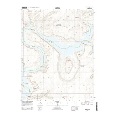
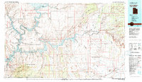
2014 Map of The Rincon
USGS Topo · Published 2014About this map
The Rincon serves as a geological centerpiece in this high-desert landscape where the borders of Kane and San Juan counties meet. The flooded canyons of Lake Powell dominate the central topography, creating a labyrinth of water-filled passages including Iceberg Canyon and Ribbon Canyon. This survey captures the complex drainage patterns and natural sandstone formations that define the Glen Canyon National Recreation Area.
Find a feature on this map
23 named features on this map. Tap any name to fly to it.
Don’t see what you’re looking for? This feature index may not catch every label — zoom into the map to look around manually.
Map Details
Editions of this 2014 The Rincon Map
This is the sole edition of this map. No revisions or reprints were ever made.
Other maps of this area

1886 · Henry Mountains
USGS Topo · 1:250,000

1892 · Henry Mountains
USGS Topo · 1:250,000
1953 · Navajo Mountain 4 NW
USGS Topo · 1:24,000
1953 · The Rincon
USGS Topo · 1:62,500
1953 · Lake Canyon
USGS Topo · 1:62,500
1953 · Navajo Mountain
USGS Topo · 1:62,500
1953 · No Mans Mesa
USGS Topo · 1:62,500
1956 · Escalante
USGS Topo · 1:250,000
1960 · Escalante
USGS Topo · 1:250,000
1981 · Navajo Mountain
USGS Topo · 1:100,000