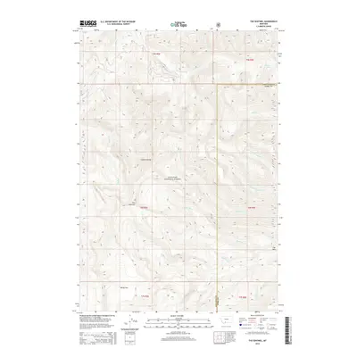
2014 Map of The Sentinel
USGS Topo · Published 2014About this map
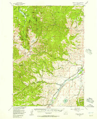
Gallatin National Forest encompasses the high-altitude terrain of the Gallatin Range in this modern topographical study. The landscape is defined by its complex drainage systems, where numerous waterways like Bark Cabin Cr and Cottonwood Cr flow from the central heights toward the Gallatin and Park County line. Distinctive peaks such as The Sentinel and The Bear provide vertical anchors for the map, while Windy Pass marks a significant gap in the southern reaches of the range. The presence of Crater Lake in the northeastern corner suggests the glacial and volcanic history that shaped this wilderness. This survey documents the network of streams and creeks, including Mist Cr, Smokey Cr, and Little Bear Cr, that sustain the high-mountain ecosystem within the federal forest boundaries.
Find a feature on this map
25 named features on this map. Tap any name to fly to it.
Don’t see what you’re looking for? This feature index may not catch every label — zoom into the map to look around manually.
Map Details
Editions of this 2014 The Sentinel Map
This is the sole edition of this map. No revisions or reprints were ever made.
Other maps of this area
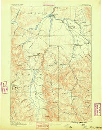
1888 · Three Forks
USGS Topo · 1:250,000
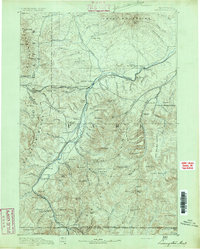
1891 · Livingston
USGS Topo · 1:250,000
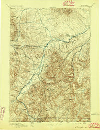
1893 · Livingston
USGS Topo · 1:250,000
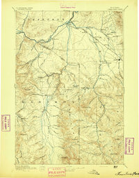
1894 · Three Forks
USGS Topo · 1:250,000
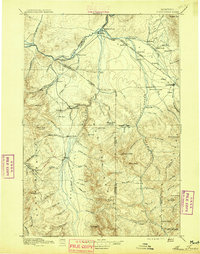
1895 · Three Forks
USGS Topo · 1:250,000

1947 · Bozeman
USGS Topo · 1:250,000

1948 · Bozeman
USGS Topo · 1:250,000
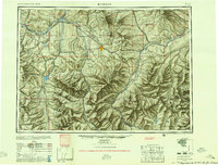
1955 · Bozeman
USGS Topo · 1:250,000
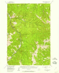
1955 · Garnet Mountain
USGS Topo · 1:62,500
1955 · Fridley Peak
USGS Topo · 1:62,500