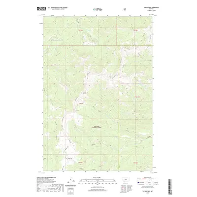
2020 Map of The Sentinel
USGS Topo · Published 2020About this map
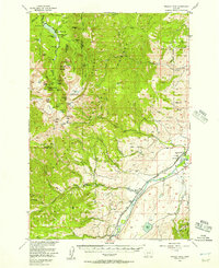
Gallatin National Forest dominates this high-altitude landscape along the border of Gallatin and Park Counties. The geography is defined by the Gallatin Range and the high ridge of the Gallatin Crest, which serves as a natural divide for numerous drainage systems. Significant landmarks include the prominent peak of The Sentinel and the distinct formation known as The Bear to the southeast. The area is marked by a network of seasonal watercourses, including Mist Creek, Cliff Creek, and the headwaters of Big Creek. Human presence is minimal, centered on mountain access points like Windy Pass, where the Windy Pass Cabin provides a remote outpost. The presence of named locations such as Bark Cabin suggests long-standing forest management and recreational use within this protected wilderness area.
Find a feature on this map
37 named features on this map. Tap any name to fly to it.
Don’t see what you’re looking for? This feature index may not catch every label — zoom into the map to look around manually.
Map Details
Editions of this 2020 The Sentinel Map
This is the sole edition of this map. No revisions or reprints were ever made.
Other maps of this area
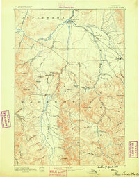
1888 · Three Forks
USGS Topo · 1:250,000
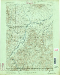
1891 · Livingston
USGS Topo · 1:250,000
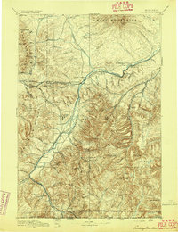
1893 · Livingston
USGS Topo · 1:250,000
1894 · Three Forks
USGS Topo · 1:250,000
1895 · Three Forks
USGS Topo · 1:250,000

1947 · Bozeman
USGS Topo · 1:250,000

1948 · Bozeman
USGS Topo · 1:250,000
1955 · Bozeman
USGS Topo · 1:250,000
1955 · Garnet Mountain
USGS Topo · 1:62,500
1955 · Fridley Peak
USGS Topo · 1:62,500