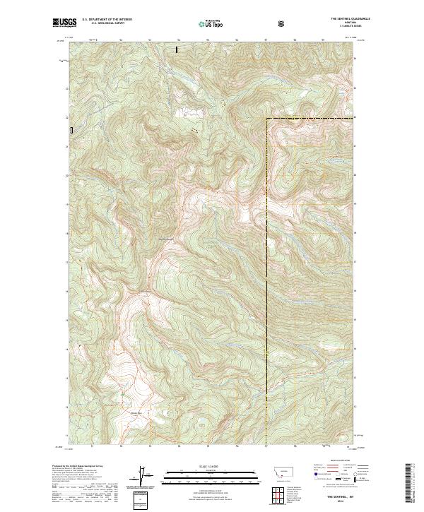
2024 Map of The Sentinel
USGS Topo · Published 2024About this map
The Gallatin Range defines this high-elevation wilderness within the Gallatin National Forest, where the prominent peak of The Sentinel serves as a central landmark. This 2024 survey captures a landscape shaped by narrow drainage networks and steep ridgelines, including the headwaters of Big Creek and Moose Creek. The area is predominantly defined by its extensive trail system rather than permanent settlements, reflecting its status as protected backcountry. Notable routes like the Gallatin Crest Trl and Windy Pass Trl follow the natural contours of the divide, connecting high points like Windy Pass. To the northeast, the terrain drops toward Crater Lake and Cliff Creek, illustrating the complex water patterns that feed into the larger regional watersheds. This map provides a detailed view of the modern boundaries between Gallatin and Park counties as they intersect along these remote mountain crests.
Find a feature on this map
33 named features on this map. Tap any name to fly to it.
Don’t see what you’re looking for? This feature index may not catch every label — zoom into the map to look around manually.
Map Details
Editions of this 2024 The Sentinel Map
This is the sole edition of this map. No revisions or reprints were ever made.
Other maps of this area

1888 · Three Forks
USGS Topo · 1:250,000

1891 · Livingston
USGS Topo · 1:250,000

1893 · Livingston
USGS Topo · 1:250,000

1894 · Three Forks
USGS Topo · 1:250,000

1895 · Three Forks
USGS Topo · 1:250,000

1947 · Bozeman
USGS Topo · 1:250,000

1948 · Bozeman
USGS Topo · 1:250,000

1955 · Bozeman
USGS Topo · 1:250,000

1955 · Garnet Mountain
USGS Topo · 1:62,500

1955 · Fridley Peak
USGS Topo · 1:62,500