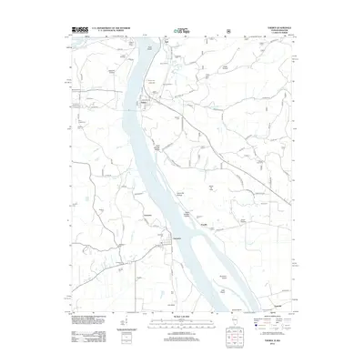
2012 Map of Thebes
USGS Topo · Published 2012About this map
The Mississippi River carves a complex path through this riverfront landscape, defining the borderlands where Missouri and Illinois meet. Along the western banks, the settlement of Commerce stands as a focal point, flanked by numerous burial sites including Commerce Cem, Oakdale Cem, and the nearby Anderson Cem. The terrain is marked by significant rises such as Jackson Hill and deep recesses like Sawmill Hollow and Jones Hollow, illustrating the varied topography created by centuries of fluvial action.
Find a feature on this map
104 named features on this map. Tap any name to fly to it.
Don’t see what you’re looking for? This feature index may not catch every label — zoom into the map to look around manually.
Map Details
Editions of this 2012 Thebes Map
This is the sole edition of this map. No revisions or reprints were ever made.
Other maps of this area

1920 · Jonesboro
USGS Topo · 1:62,500

1922 · Cape Girardeau
USGS Topo · 1:62,500

1923 · Jonesboro
USGS Topo · 1:62,500

1924 · Cape Girardeau
USGS Topo · 1:62,500

1934 · Thebes
USGS Topo · 1:62,500

1934 · Morley
USGS Topo · 1:62,500

1939 · Morley
USGS Topo · 1:62,500

1939 · Thebes
USGS Topo · 1:62,500

1947 · Jonesboro
USGS Topo · 1:62,500

1947 · Mc Clure
USGS Topo · 1:24,000