
1934 Map of Thebes
USGS Topo · Published 1934About this map
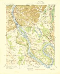
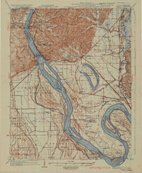
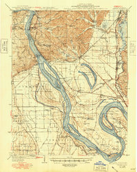
The Mississippi River dominates this landscape, its shifting channels creating a complex environment of islands and towheads along the Illinois-Missouri border. The intricate river geography is highlighted by Burnham Island, Billings Island, and the distinctive Dogtooth Bend to the south. Inland, the Horseshoe Lake area is defined by the State Game Preserve, which preserves the character of the Mississippi flyway.
Find a feature on this map
100 named features on this map. Tap any name to fly to it.
Don’t see what you’re looking for? This feature index may not catch every label — zoom into the map to look around manually.
Map Details
Editions of this 1934 Thebes Map
4 editions found
Other maps of this area

1920 · Jonesboro
USGS Topo · 1:62,500

1920 · Dongola
USGS Topo · 1:62,500

1922 · Cape Girardeau
USGS Topo · 1:62,500

1923 · Dongola
USGS Topo · 1:62,500

1923 · Jonesboro
USGS Topo · 1:62,500

1924 · Cape Girardeau
USGS Topo · 1:62,500

1931 · Sikeston
USGS Topo · 1:62,500

1931 · Cairo
USGS Topo · 1:62,500

1933 · Cairo
USGS Topo · 1:62,500

1934 · Morley
USGS Topo · 1:62,500