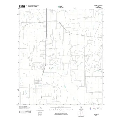
2010 Map of Thelma
USGS Topo · Published 2010About this map
Oak Island and Thelma anchor this portion of South Texas, where the landscape is defined by the winding course of the Medina River and its numerous tributaries. By 2010, the area shows a transition from rural reaches to more organized residential development, visible in the street grids near Royal Oaks Rd and the family-named corridors such as Devilbliss Ln and Trumbo Rd. The drainage network is complex, with Elm Creek, Palo Blanco Creek, and Gallinas Creek carving through the terrain before joining the larger river system.
Find a feature on this map
54 named features on this map. Tap any name to fly to it.
Don’t see what you’re looking for? This feature index may not catch every label — zoom into the map to look around manually.
Map Details
Editions of this 2010 Thelma Map
This is the sole edition of this map. No revisions or reprints were ever made.
Other maps of this area

1953 · Terrell Wells
USGS Topo · 1:24,000

1953 · Macdona
USGS Topo · 1:24,000

1953 · Southton
USGS Topo · 1:24,000

1954 · San Antonio
USGS Topo · 1:250,000

1957 · San Antonio
USGS Topo · 1:250,000

1958 · Losoya
USGS Topo · 1:24,000

1958 · Somerset
USGS Topo · 1:24,000

1958 · Thelma
USGS Topo · 1:24,000

1964 · Leming
USGS Topo · 1:24,000
1967 · Terrell Wells
USGS Topo · 1:24,000