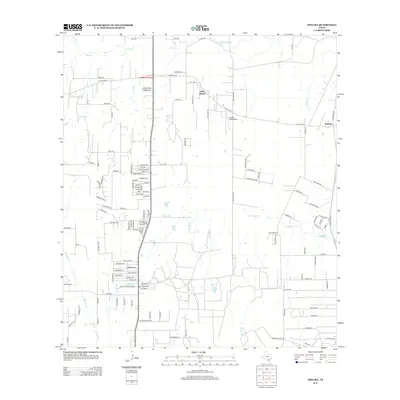
2013 Map of Thelma
USGS Topo · Published 2013About this map
Oak Island and Thelma anchor this portion of South Texas, where the landscape is defined by the branching tributaries of the Medina River. The area exhibits a mix of rural crossroads and growing residential developments, connected by a network of local routes like FM-1518 and S Loop 1604 W. The drainage patterns of Gallinas Cr, Palo Alto Cr, and Palo Blanco Cr carve through the terrain, leading toward the Pax Lake area. Aviation history is represented by the Cannon Field Airport, while smaller named communities such as Deborah Kay sit alongside established ranch roads. The map reveals the transition of former agricultural land into structured neighborhoods, evidenced by the dense naming of residential streets like those found in Savannah Hts.
Find a feature on this map
125 named features on this map. Tap any name to fly to it.
Don’t see what you’re looking for? This feature index may not catch every label — zoom into the map to look around manually.
Map Details
Editions of this 2013 Thelma Map
This is the sole edition of this map. No revisions or reprints were ever made.
Other maps of this area

1953 · Terrell Wells
USGS Topo · 1:24,000

1953 · Macdona
USGS Topo · 1:24,000

1953 · Southton
USGS Topo · 1:24,000

1954 · San Antonio
USGS Topo · 1:250,000

1957 · San Antonio
USGS Topo · 1:250,000

1958 · Losoya
USGS Topo · 1:24,000

1958 · Somerset
USGS Topo · 1:24,000

1958 · Thelma
USGS Topo · 1:24,000

1964 · Leming
USGS Topo · 1:24,000
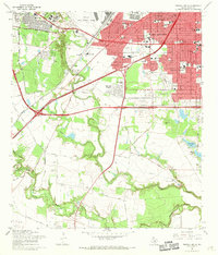
1967 · Terrell Wells
USGS Topo · 1:24,000