
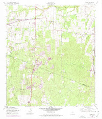
1958 Map of Thelma
USGS Topo · Published 1961About this map
The Medina River corridor south of San Antonio reveals a landscape defined by traditional ranching and the emerging petroleum industry of the late 1950s. Small rural communities like Oak Island and Thelma serve as focal points for the region, with local landmarks such as Thelma Ch and the Thelma Tabernacle anchoring the social fabric. The southern portion of the map is heavily wooded, carved by the winding paths of Gallinas Creek and Elm Creek.
Find a feature on this map
17 named features on this map. Tap any name to fly to it.
Don’t see what you’re looking for? This feature index may not catch every label — zoom into the map to look around manually.
Map Details
Editions of this 1958 Thelma Map
2 editions found
Other maps of this area

1953 · Terrell Wells
USGS Topo · 1:24,000

1953 · Macdona
USGS Topo · 1:24,000

1953 · Southton
USGS Topo · 1:24,000

1954 · San Antonio
USGS Topo · 1:250,000

1957 · San Antonio
USGS Topo · 1:250,000

1958 · Losoya
USGS Topo · 1:24,000

1958 · Somerset
USGS Topo · 1:24,000

1964 · Leming
USGS Topo · 1:24,000
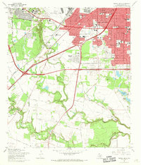
1967 · Terrell Wells
USGS Topo · 1:24,000
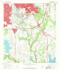
1967 · Southton
USGS Topo · 1:24,000