
1948 Map of Theresa
USGS Topo · Published 1948About this map
The Indian River winds through this Jefferson County landscape, anchoring the village of Theresa and dictating the placement of early infrastructure like the Kelsey Bridge and Joachim Bridge. In the years following World War II, this area maintained a network of rural schoolhouses, including Bacon School, School No 12, and School No 7, alongside small family-named crossroads such as Still Corners and Whitneys Corners. The New York Central railroad cuts across the terrain, marking stops at Strough Crossing and Douglas Crossing. The map highlights a rugged topography defined by Spruce Ledge and Corbin Ledge, while genealogical landmarks like Chaufty Cem and Van Allen Cem provide vital clues for tracing local family histories within the townships. This military-to-civilian revision illustrates a transitional era for Northern New York transportation and rural community life.
Find a feature on this map
37 named features on this map. Tap any name to fly to it.
Don’t see what you’re looking for? This feature index may not catch every label — zoom into the map to look around manually.
Map Details
Editions of this 1948 Theresa Map
This is the sole edition of this map. No revisions or reprints were ever made.
Other maps of this area

1903 · Alexandria Bay
USGS Topo · 1:62,500

1903 · Theresa
USGS Topo · 1:62,500

1911 · Antwerp
USGS Topo · 1:62,500

1912 · Hammond
USGS Topo · 1:62,500

1943 · Redwood
USGS Topo · 1:31,680

1943 · Lafargeville
USGS Topo · 1:31,680
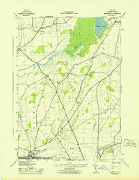
1943 · Brownville
USGS Topo · 1:31,680

1943 · Alexandria Bay
USGS Topo · 1:31,680

1944 · Hammond
USGS Topo · 1:62,500
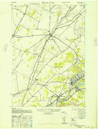
1948 · Black River
USGS Topo · 1:24,000