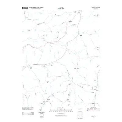
2013 Map of Theta
USGS Topo · Published 2013About this map
Theta stands as a central settlement in this portion of Maury County, surrounded by a complex network of hollows and ridges that define the local geography. The landscape is marked by numerous named valleys such as Godwin Hollow, Pennywinkle Hollow, and Cave Spring Hollow, reflecting a traditional Tennessee upland settlement pattern where communities formed along watercourses and sheltered bottomlands. Significant waterways including Leipers Cr and Leipers Fork provide the primary drainage for the area, while the modern Natchez Trace Pkwy snakes through the northern hills near Smarden. This 2013 record captures the enduring rural character of the region, where family-named features like Sellers Hollow and John Hunter Hollow persist alongside small crossroads communities like Boston and Bethel.
Find a feature on this map
122 named features on this map. Tap any name to fly to it.
Don’t see what you’re looking for? This feature index may not catch every label — zoom into the map to look around manually.
Map Details
Editions of this 2013 Theta Map
This is the sole edition of this map. No revisions or reprints were ever made.
Other maps of this area
1901 · Colombia
USGS Topo · 1:125,000
1909 · Franklin
USGS Topo · 1:62,500
1936 · Godwin
USGS Topo · 1:24,000
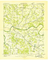
1936 · Williamsport
USGS Topo · 1:24,000
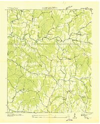
1936 · Primm
USGS Topo · 1:24,000
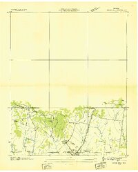
1936 · Spring Hill
USGS Topo · 1:24,000
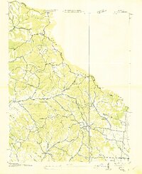
1936 · Theta
USGS Topo · 1:24,000
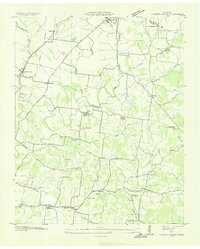
1936 · Carters Creek
USGS Topo · 1:24,000
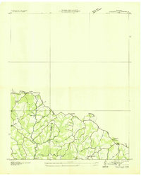
1936 · Craigfield
USGS Topo · 1:24,000
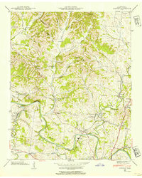
1940 · Godwin
USGS Topo · 1:24,000