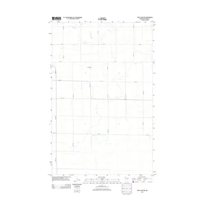
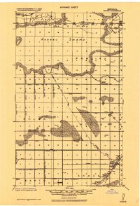
2013 Map of Thief Lake NW
USGS Topo · Published 2013About this map
S Br Two Rivers meanders through the northwest corner of this rural landscape, marking one of the few natural breaks in an otherwise strictly surveyed grid. The area is defined by its agricultural layout, dominated by a network of gravel and section roads including 280th Ave and 230th St. A key genealogical landmark is the Nannestad Cem, located near the junction of Co Hwy 4 and 220th St. This 2013 survey illustrates the persistent rural character of this portion of Roseau County, where the infrastructure is built almost entirely around the needs of local land management and drainage, with the channelized reaches of the river system visible amongst the expansive fields.
Find a feature on this map
13 named features on this map. Tap any name to fly to it.
Don’t see what you’re looking for? This feature index may not catch every label — zoom into the map to look around manually.
Map Details
Editions of this 2013 Thief Lake NW Map
This is the sole edition of this map. No revisions or reprints were ever made.
Other maps of this area
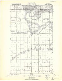
1918 · Roseau
USGS Topo · 1:62,500
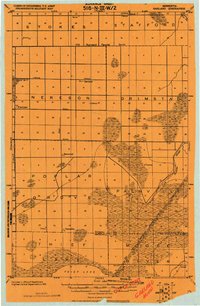
1918 · Garland
USGS Topo · 1:62,500
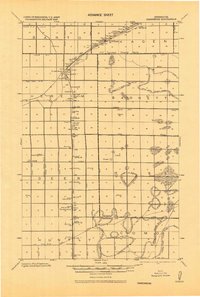
1918 · Greenbush
USGS Topo · 1:62,500
1919 · Badger
USGS Topo · 1:62,500

1952 · Thief River Falls
USGS Topo · 1:250,000

1954 · Roseau
USGS Topo · 1:250,000

1956 · Thief River Falls
USGS Topo · 1:250,000

1957 · Roseau
USGS Topo · 1:250,000

1957 · Thief River Falls
USGS Topo · 1:250,000

1958 · Roseau
USGS Topo · 1:250,000