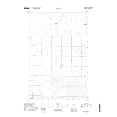
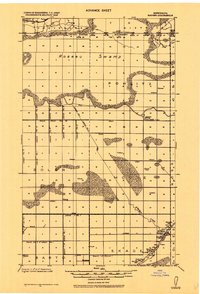
2019 Map of Thief Lake NW
USGS Topo · Published 2019About this map
Nannestad Cem stands as a quiet landmark in this section of Roseau County, centered within a landscape defined by an extensive grid of section roads and the winding course of the S Br Two Rivers. The terrain is characterized by broad wetlands and intermittent water bodies, particularly concentrated in the southern townships of t159n r41w and t160n r41w. This area reflects a late-period rural organization where access is maintained by a dense network of numbered routes like Co Rd 117 and Co Rd 4. The map provides a clear view of the drainage patterns and the precise township boundaries that have governed this remote northern Minnesota region since its early surveying. It is a vital resource for tracing family ties to the local cemetery or understanding the hydrology of the Two Rivers watershed.
Find a feature on this map
25 named features on this map. Tap any name to fly to it.
Don’t see what you’re looking for? This feature index may not catch every label — zoom into the map to look around manually.
Map Details
Editions of this 2019 Thief Lake NW Map
This is the sole edition of this map. No revisions or reprints were ever made.
Other maps of this area
1918 · Roseau
USGS Topo · 1:62,500
1918 · Garland
USGS Topo · 1:62,500
1918 · Greenbush
USGS Topo · 1:62,500
1919 · Badger
USGS Topo · 1:62,500

1952 · Thief River Falls
USGS Topo · 1:250,000

1954 · Roseau
USGS Topo · 1:250,000

1956 · Thief River Falls
USGS Topo · 1:250,000

1957 · Roseau
USGS Topo · 1:250,000

1957 · Thief River Falls
USGS Topo · 1:250,000

1958 · Roseau
USGS Topo · 1:250,000