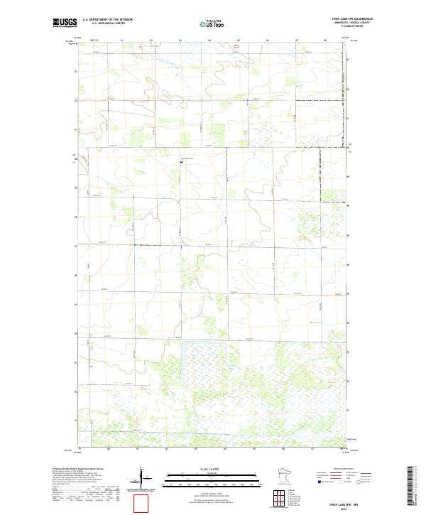
2022 Map of Thief Lake NW
USGS Topo · Published 2022About this map
Nannestad Cem serves as a lone local landmark in this northern section of Roseau County, situated amidst a landscape heavily defined by its township and range grid. The northern portion of the quadrangle is crossed by the S Br Two Rivers, which meanders through the flat, open terrain typical of this part of Minnesota. The map reveals a strictly organized rural infrastructure, with a network of numbered section lines and roads such as Co Rd 117 and Co Rd 14 providing the primary framework for local travel. The high density of wetlands across the southern half of the map illustrates the character of this low-lying region, where the intersection of Co Rd 3 and Co Rd 4 marks one of the few prominent road junctions in an otherwise sparse agricultural and natural landscape.
Find a feature on this map
26 named features on this map. Tap any name to fly to it.
Don’t see what you’re looking for? This feature index may not catch every label — zoom into the map to look around manually.
Map Details
Editions of this 2022 Thief Lake NW Map
This is the sole edition of this map. No revisions or reprints were ever made.
Other maps of this area

1918 · Roseau
USGS Topo · 1:62,500

1918 · Garland
USGS Topo · 1:62,500

1918 · Greenbush
USGS Topo · 1:62,500

1919 · Badger
USGS Topo · 1:62,500

1952 · Thief River Falls
USGS Topo · 1:250,000

1954 · Roseau
USGS Topo · 1:250,000

1956 · Thief River Falls
USGS Topo · 1:250,000

1957 · Roseau
USGS Topo · 1:250,000

1957 · Thief River Falls
USGS Topo · 1:250,000

1958 · Roseau
USGS Topo · 1:250,000