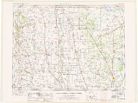
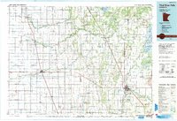
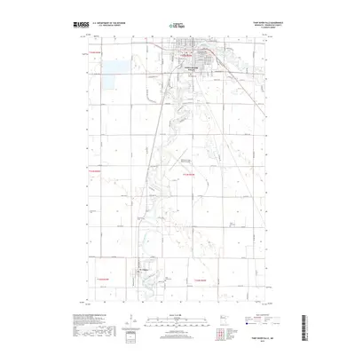
1952 Map of Thief River Falls
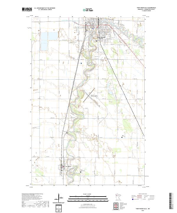
USGS Topo · Published 1977About this map
Red River of the North defines the center of this mid-century survey, acting as the border between North Dakota and Minnesota. The agricultural landscape is dominated by the intricate drainage networks of the Pembina River, Park River, and Snake River, reflecting the era's reliance on water management for the fertile Red River Valley. Along the Soo Line and Burlington Northern railroads, dozens of small prairie settlements like Glasston, Auburn, and Hensel anchor the regional economy. Large-scale conservation efforts are evident in the sprawling Agassiz National Wildlife Refuge and Ardoch National Wildlife Refuge, while local history is preserved at St Thomas Ch and the St Vincent Cem. The map illustrates a period of established rail infrastructure and early state park development, including Icelandic State Park.
Find a feature on this map
130 named features on this map. Tap any name to fly to it.
Don’t see what you’re looking for? This feature index may not catch every label — zoom into the map to look around manually.
Map Details
Editions of this 1952 Thief River Falls Map
2 editions found

Historical Maps of Thief River Falls Through Time
13 maps found
1943 Thief River Falls
Pennington County, MN
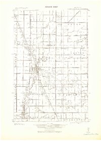
1952 Thief River Falls
Pennington County, MN

1956 Thief River Falls
Pennington County, MN

1957 Thief River Falls
Pennington County, MN
1959 Thief River Falls
Pennington County, MN

1967 Thief River Falls
Pennington County, MN
1985 Thief River Falls
Pennington County, MN
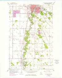
1992 Thief River Falls
Pennington County, MN
2010 Thief River Falls
Pennington County, MN
2013 Thief River Falls
Pennington County, MN
2016 Thief River Falls
Pennington County, MN
2019 Thief River Falls
Pennington County, MN
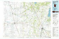
2022 Thief River Falls
Pennington County, MN