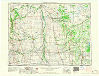
1967 Map of Thief River Falls
USGS Topo · Published 1967About this map
The Red River of the North defines the international and interstate character of this region, winding past the border town of Pembina where the United States and Canada meet. This mid-century landscape is dominated by the vast drainage systems of the Snake River, Tamarac River, and Pembina River, which supported an extensive network of rail-based commerce. Three major lines—the Great Northern, Northern Pacific, and Soo Line—crisscross the fertile plains, connecting agricultural centers like Grafton, Cavalier, and Thief River Falls.
Find a feature on this map
135 named features on this map. Tap any name to fly to it.
Don’t see what you’re looking for? This feature index may not catch every label — zoom into the map to look around manually.
Map Details
Editions of this 1967 Thief River Falls Map
This is the sole edition of this map. No revisions or reprints were ever made.
Other maps of this area
1918 · Hemmington
USGS Topo · 1:62,500
1918 · Rollis
USGS Topo · 1:62,500
1918 · Angus
USGS Topo · 1:62,500
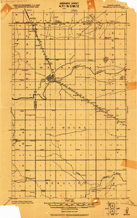
1918 · Walhalla
USGS Topo · 1:62,500
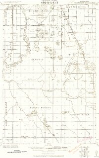
1918 · Terrebonne
USGS Topo · 1:62,500
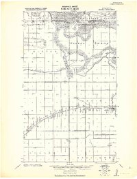
1918 · Roseau
USGS Topo · 1:62,500
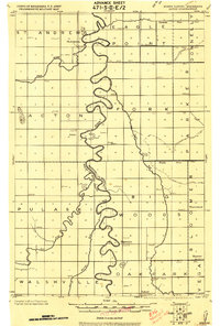
1918 · Acton
USGS Topo · 1:62,500
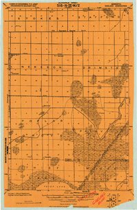
1918 · Garland
USGS Topo · 1:62,500
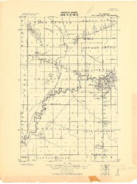
1918 · Red Lake Falls
USGS Topo · 1:62,500
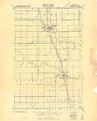
1918 · Argyle
USGS Topo · 1:62,500