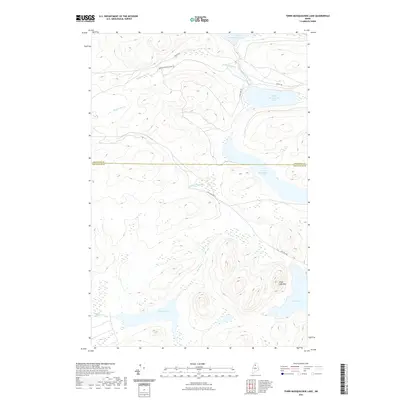
2021 Map of Third Musquacook Lake
USGS Topo · Published 2021About this map
Third Musquacook Lake and its neighboring basins dominate this North Maine Woods landscape, reflecting a region defined by its hydrology and industrial timber history. The map documents the boundary where Aroostook and Piscataquis counties meet amidst a complex network of waterways, including the winding Musquacook Stream and the isolated Harrow Lake. Significant topographic relief is anchored by Clear Lake Mtn, which overlooks the southern reaches near Clear Lake.
Find a feature on this map
17 named features on this map. Tap any name to fly to it.
Don’t see what you’re looking for? This feature index may not catch every label — zoom into the map to look around manually.
Map Details
Editions of this 2021 Third Musquacook Lake Map
This is the sole edition of this map. No revisions or reprints were ever made.
Other maps of this area

1932 · Umsaskis Lake
USGS Topo · 1:48,000

1932 · Musquacook Lakes
USGS Topo · 1:48,000

1935 · Umsaskis Lake
USGS Topo · 1:62,500

1935 · Musquacook Lakes
USGS Topo · 1:62,500

1954 · Spider Lake
USGS Topo · 1:62,500

1954 · Churchill Lake
USGS Topo · 1:62,500

1954 · Presque Isle
USGS Topo · 1:250,000

1958 · Presque Isle
USGS Topo · 1:250,000

1960 · Presque Isle
USGS Topo · 1:250,000

1961 · Spider Lake
USGS Topo · 1:62,500