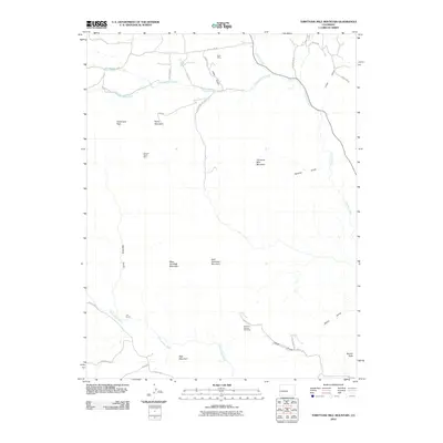
2010 Map of Thirtyone Mile Mountain
USGS Topo · Published 2010About this map
Thirtyone Mile Mountain dominates the central landscape of this Fremont County region, part of a topography defined by significant peaks and drainage systems. The area's mining history is evident through scattered operations such as the Betty Mine in the north and the Charlene Number One Mine further south near Smith Gulch. These small-scale mineral extraction sites are connected by a network of rural routes, including County Rd 88 and County Rd 2, which trace the valleys between high points like Baldy Mountain and Hammond Peak.
Find a feature on this map
37 named features on this map. Tap any name to fly to it.
Don’t see what you’re looking for? This feature index may not catch every label — zoom into the map to look around manually.
Map Details
Editions of this 2010 Thirtyone Mile Mountain Map
This is the sole edition of this map. No revisions or reprints were ever made.
Other maps of this area

1894 · Pikes Peak
USGS Topo · 1:125,000

1901 · Pikes Peak
USGS Topo · 1:125,000

1942 · Cover Mtn.
USGS Topo · 1:62,500

1948 · Cover Mtn.
USGS Topo · 1:62,500

1954 · Pueblo
USGS Topo · 1:250,000

1957 · Pueblo
USGS Topo · 1:250,000

1958 · Pueblo
USGS Topo · 1:250,000

1959 · Black Mountain
USGS Topo · 1:62,500

1959 · Guffey
USGS Topo · 1:62,500
1959 · Florissant
USGS Topo · 1:62,500