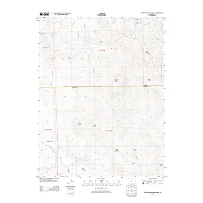
2013 Map of Thirtyone Mile Mountain
USGS Topo · Published 2013About this map
The high country of the Colorado Front Range is defined by sharp elevation shifts and name-rich geological landmarks in this 2013 survey. The small settlement of Guffey sits in the northeast corner, a local hub near the intersection of several county roads and the distinctive Yellow Soda Spring. The landscape is dominated by a series of significant peaks, including the namesake Thirtyone Mile Mountain, Wall Mountain, and the isolated Delilah Peak to the southeast.
Find a feature on this map
46 named features on this map. Tap any name to fly to it.
Don’t see what you’re looking for? This feature index may not catch every label — zoom into the map to look around manually.
Map Details
Editions of this 2013 Thirtyone Mile Mountain Map
This is the sole edition of this map. No revisions or reprints were ever made.
Other maps of this area
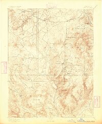
1894 · Pikes Peak
USGS Topo · 1:125,000
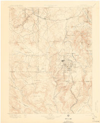
1901 · Pikes Peak
USGS Topo · 1:125,000
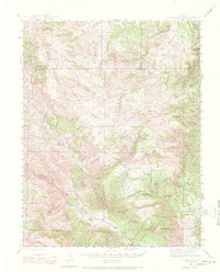
1942 · Cover Mtn.
USGS Topo · 1:62,500
1948 · Cover Mtn.
USGS Topo · 1:62,500
1954 · Pueblo
USGS Topo · 1:250,000
1957 · Pueblo
USGS Topo · 1:250,000
1958 · Pueblo
USGS Topo · 1:250,000
1959 · Black Mountain
USGS Topo · 1:62,500
1959 · Guffey
USGS Topo · 1:62,500
1959 · Florissant
USGS Topo · 1:62,500