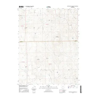
2016 Map of Thirtyone Mile Mountain
USGS Topo · Published 2016About this map
Guffey sits at the northern edge of this high-altitude landscape, where the boundary between Park and Fremont counties divides a terrain of prominent volcanic and metamorphic peaks. The namesake Thirtyone Mile Mountain dominates the central portion of the sheet, surrounded by a complex system of drainage basins including Thirtyone Mile Cr and Currant Cr. These waterways cut deep through the landscape, forming numerous gulches like Louis Gulch and Warmer Gulch. To the south, the peaks of W Antelope Mtn and E Antelope Mtn rise above the Cottonwood Cr drainage, while Wall Mtn and Delilah Peak mark the southern reach of the survey. The mapping reveals a modern network of rural roads and residential lanes such as Taylor Rd and Autumn Creek Dr, reflecting the area's development from a remote mining and ranching district into a region of mountain retreats and land parcels.
Find a feature on this map
50 named features on this map. Tap any name to fly to it.
Don’t see what you’re looking for? This feature index may not catch every label — zoom into the map to look around manually.
Map Details
Editions of this 2016 Thirtyone Mile Mountain Map
This is the sole edition of this map. No revisions or reprints were ever made.
Other maps of this area
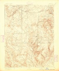
1894 · Pikes Peak
USGS Topo · 1:125,000
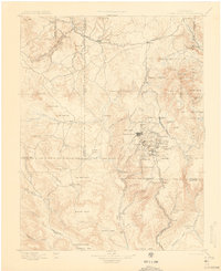
1901 · Pikes Peak
USGS Topo · 1:125,000
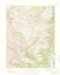
1942 · Cover Mtn.
USGS Topo · 1:62,500
1948 · Cover Mtn.
USGS Topo · 1:62,500
1954 · Pueblo
USGS Topo · 1:250,000
1957 · Pueblo
USGS Topo · 1:250,000
1958 · Pueblo
USGS Topo · 1:250,000
1959 · Black Mountain
USGS Topo · 1:62,500
1959 · Guffey
USGS Topo · 1:62,500
1959 · Florissant
USGS Topo · 1:62,500