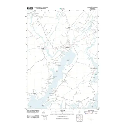
2011 Map of Thomaston
USGS Topo · Published 2011About this map
The Saint George River and its intricate tidal estuaries define the landscape of this Knox County coastline. In the village of Thomaston, the road network centers around historic intersections near Montpelier and the winding Mill River, while Limestone Hill stands as a prominent topographical landmark just west of the town center. The map reveals a dense distribution of lineage-rich sites, including The Village Cemetery and Saint Johns Cemetery, which anchor the local community's history.
Find a feature on this map
160 named features on this map. Tap any name to fly to it.
Don’t see what you’re looking for? This feature index may not catch every label — zoom into the map to look around manually.
Map Details
Editions of this 2011 Thomaston Map
This is the sole edition of this map. No revisions or reprints were ever made.
Other maps of this area

1904 · Monhegan
USGS Topo · 1:62,500

1904 · Tenants Harbor
USGS Topo · 1:62,500

1904 · Rockland
USGS Topo · 1:62,500

1906 · Tennant Harbor
USGS Topo · 1:62,500

1906 · Monhegan
USGS Topo · 1:62,500

1906 · Rockland
USGS Topo · 1:62,500

1913 · Waldoboro
USGS Topo · 1:48,000

1915 · Waldoboro
USGS Topo · 1:62,500

1941 · Rockland
USGS Topo · 1:62,500

1941 · Waldoboro
USGS Topo · 1:62,500