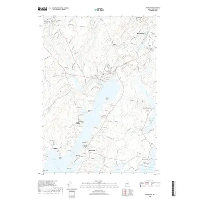
2018 Map of Thomaston
USGS Topo · Published 2018About this map
The Saint George River and its tidal tributaries define this Knox County coastal landscape, where maritime geography meets long-standing inland settlements. The town of Thomaston serves as a central hub, flanked by the high ground of Limestone Hill and the specialized grounds of The Village Cem. For genealogists, the map is particularly rich in family-named landmarks and burial sites, ranging from the North Parish Cemeteries near Fort Point to the Hyter Jameson Cem in North Cushing. The intricate shoreline is marked by numerous coves and points, including Hyler Cove and Hospital Point, reflecting the region's deep connection to the Atlantic Ocean. Farther inland, smaller hamlets like Willis Corners and Cushing connect via a network of secondary roads such as Patterson Mill Rd and New Co Rd, illustrating the transition from riverfront industry to rural Maine homesteads.
Find a feature on this map
151 named features on this map. Tap any name to fly to it.
Don’t see what you’re looking for? This feature index may not catch every label — zoom into the map to look around manually.
Map Details
Editions of this 2018 Thomaston Map
This is the sole edition of this map. No revisions or reprints were ever made.
Other maps of this area

1904 · Monhegan
USGS Topo · 1:62,500

1904 · Tenants Harbor
USGS Topo · 1:62,500

1904 · Rockland
USGS Topo · 1:62,500

1906 · Tennant Harbor
USGS Topo · 1:62,500

1906 · Monhegan
USGS Topo · 1:62,500

1906 · Rockland
USGS Topo · 1:62,500

1913 · Waldoboro
USGS Topo · 1:48,000

1915 · Waldoboro
USGS Topo · 1:62,500

1941 · Rockland
USGS Topo · 1:62,500

1941 · Waldoboro
USGS Topo · 1:62,500