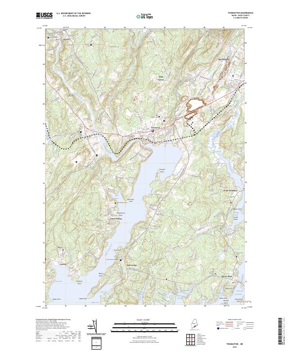
2024 Map of Thomaston
USGS Topo · Published 2024About this map
The Saint George River serves as the central artery for this coastal Maine landscape, connecting the inland settlements of Warren and Thomaston to the intricate network of coves and bays leading to the Atlantic. This modern survey illustrates the enduring maritime and agricultural character of Knox County, where historical burying grounds like Saint Johns Cem and the North Parish Cemeteries are preserved alongside the winding courses of the Oyster River and Weskeag River. The terrain transitions from the elevations of Benner Hill and Limestone Hill to the complex shorelines of Broad Cove and Wheeler Bay. Researchers can trace the development of small communities such as Willis Corners, South Thomaston, and Spruce Head, noting how local roads like Patterson Mill Rd and Rte 131 follow the contours of a land shaped by its relationship to the water.
Find a feature on this map
160 named features on this map. Tap any name to fly to it.
Don’t see what you’re looking for? This feature index may not catch every label — zoom into the map to look around manually.
Map Details
Editions of this 2024 Thomaston Map
This is the sole edition of this map. No revisions or reprints were ever made.
Other maps of this area

1904 · Monhegan
USGS Topo · 1:62,500

1904 · Tenants Harbor
USGS Topo · 1:62,500

1904 · Rockland
USGS Topo · 1:62,500

1906 · Tennant Harbor
USGS Topo · 1:62,500

1906 · Monhegan
USGS Topo · 1:62,500

1906 · Rockland
USGS Topo · 1:62,500

1913 · Waldoboro
USGS Topo · 1:48,000

1915 · Waldoboro
USGS Topo · 1:62,500

1941 · Rockland
USGS Topo · 1:62,500

1941 · Waldoboro
USGS Topo · 1:62,500