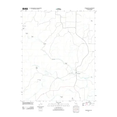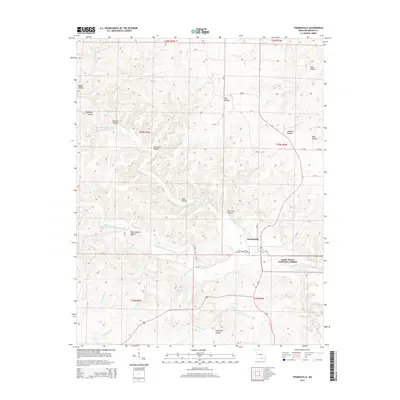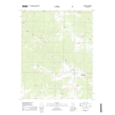
2021 Map of Thomasville
USGS Topo · Published 2021About this map
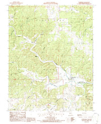
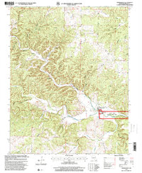
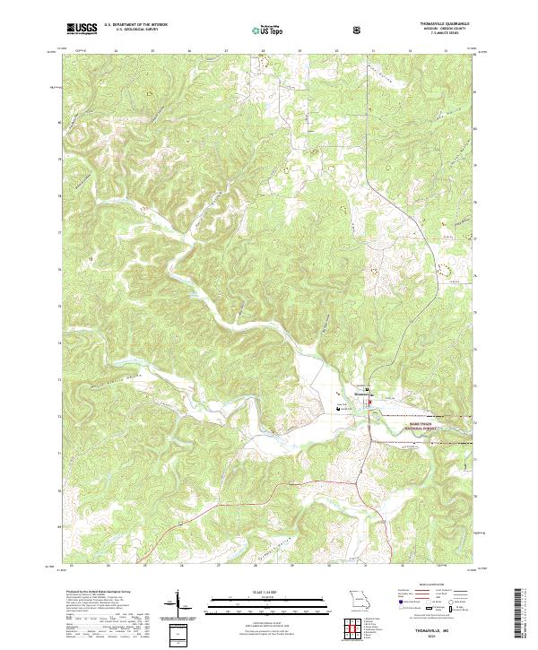
Thomasville serves as the focal point of this Ozark landscape, situated where the Middle Fork Eleven Point River joins the main stem of the Eleven Point River. The area is characterized by a dense network of drainage systems, with named features such as Wick Hollow, De Priest Hollow, and Panther Hollow carving into the terrain. For genealogists, the map identifies several local resting places including Woodside Cem, Lane Cem, and Bellah Cem, which cluster near the primary settlement. Natural water sources are abundant, with Bill Mac Spring and Cold Spring providing reliable landmarks. Much of the eastern portion of the sheet is managed as part of the Mark Twain National Forest, while the river system itself is designated as the Eleven Point Wild and Scenic River, emphasizing its protected status in the modern era.
Find a feature on this map
45 named features on this map. Tap any name to fly to it.
Don’t see what you’re looking for? This feature index may not catch every label — zoom into the map to look around manually.
Map Details
Editions of this 2021 Thomasville Map
This is the sole edition of this map. No revisions or reprints were ever made.
Historical Maps of Thomasville Through Time
6 maps found