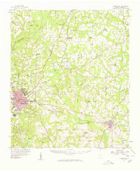
1957 Map of Thomasville
USGS Topo · Published 1959About this map
The city of Thomasville serves as the focal point of this late 1950s survey, showing its development as a regional hub defined by the crossing of the Atlantic Coast Line and Georgia Northern railroads. To the west, the Ochlockonee River is spanned by the Confederate Bridge, while the town of Boston anchors the southeastern corner. The rural landscape is densely populated with small community landmarks, particularly country churches like St Pauls Ch and Richland Ch, alongside educational sites such as Spring Hill Sch.
Find a feature on this map
60 named features on this map. Tap any name to fly to it.
Don’t see what you’re looking for? This feature index may not catch every label — zoom into the map to look around manually.
Map Details
Editions of this 1957 Thomasville Map
This is the sole edition of this map. No revisions or reprints were ever made.
Other maps of this area

1953 · Dothan
USGS Topo · 1:250,000

1953 · Waycross
USGS Topo · 1:250,000

1954 · Dothan
USGS Topo · 1:250,000
1954 · Valdosta
USGS Topo · 1:250,000

1954 · Tallahassee
USGS Topo · 1:250,000

1955 · Dothan
USGS Topo · 1:250,000
1956 · Grooverville
USGS Topo · 1:24,000
1956 · Monticello NE
USGS Topo · 1:24,000
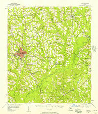
1956 · Cairo
USGS Topo · 1:62,500
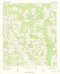
1956 · Metcalf
USGS Topo · 1:24,000