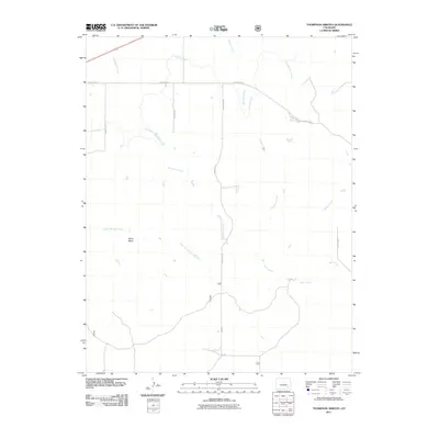
2011 Map of Thompson Arroyo
USGS Topo · Published 2011About this map
The Old Otero Canal cuts across this high plains landscape in Otero County, marking the human effort to manage water in an arid environment. The terrain is defined by a complex network of seasonal drainage channels, including Thompson Arroyo, Vandiver Arroyo, and Robinson Arroyo, which carve paths toward the larger watershed. To the southwest, Miller Mesa rises as a distinct topographical feature above the surrounding flats. A systematic grid of rural roads, such as County Rd AA and County Rd 35, provides access to this sparsely populated region. The presence of East Fork King Arroyo and Rock Arroyo further illustrates the natural erosion patterns that have shaped this portion of southeastern Colorado, where land use is dictated by the availability of water and the orientation of these historical drainage ways.
Find a feature on this map
16 named features on this map. Tap any name to fly to it.
Don’t see what you’re looking for? This feature index may not catch every label — zoom into the map to look around manually.
Map Details
Editions of this 2011 Thompson Arroyo Map
This is the sole edition of this map. No revisions or reprints were ever made.
Other maps of this area
1891 · Catlin
USGS Topo · 1:125,000
1891 · Higbee
USGS Topo · 1:125,000
1891 · Las Animas
USGS Topo · 1:125,000
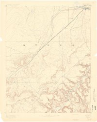
1891 · Timpas
USGS Topo · 1:125,000
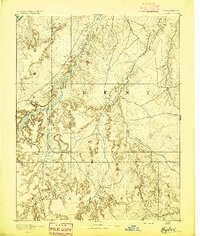
1893 · Higbee
USGS Topo · 1:125,000
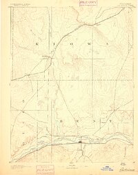
1893 · Las Animas
USGS Topo · 1:125,000
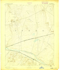
1893 · Catlin
USGS Topo · 1:125,000
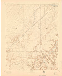
1894 · Timpas
USGS Topo · 1:125,000
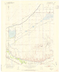
1953 · Cheraw
USGS Topo · 1:24,000
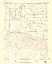
1953 · Cornelia
USGS Topo · 1:24,000