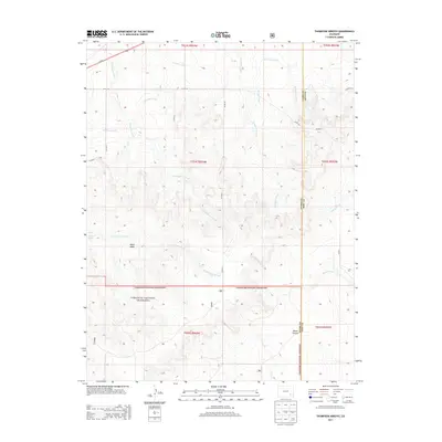
2013 Map of Thompson Arroyo
USGS Topo · Published 2013About this map
Comanche National Grassland dominates the southern reaches of this landscape, where the high plains are carved by a network of seasonal watercourses. The northern portion of the map reveals a history of early 21st-century agricultural engineering through the winding path of the Old Otero Canal, which cuts across the drainage basins of the Thompson Arroyo and Vandiver Arroyo. This arid terrain is defined by dramatic elevation changes, notably at Miller Mesa and the depths of Mixon Canyon near the border of Otero and Bent counties. The scarcity of permanent water is highlighted by the presence of Circle Waters Spring, a vital landmark in an area otherwise characterized by intermittent flows like Rock Arroyo and Tarbox Arroyo.
Find a feature on this map
27 named features on this map. Tap any name to fly to it.
Don’t see what you’re looking for? This feature index may not catch every label — zoom into the map to look around manually.
Map Details
Editions of this 2013 Thompson Arroyo Map
This is the sole edition of this map. No revisions or reprints were ever made.
Other maps of this area
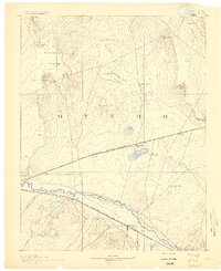
1891 · Catlin
USGS Topo · 1:125,000
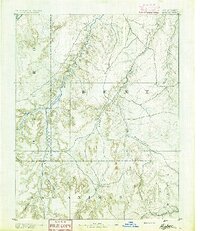
1891 · Higbee
USGS Topo · 1:125,000
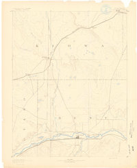
1891 · Las Animas
USGS Topo · 1:125,000
1891 · Timpas
USGS Topo · 1:125,000
1893 · Higbee
USGS Topo · 1:125,000
1893 · Las Animas
USGS Topo · 1:125,000
1893 · Catlin
USGS Topo · 1:125,000
1894 · Timpas
USGS Topo · 1:125,000
1953 · Cheraw
USGS Topo · 1:24,000
1953 · Cornelia
USGS Topo · 1:24,000