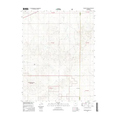
2016 Map of Thompson Arroyo
USGS Topo · Published 2016About this map
Comanche National Grassland dominates the southern reaches of this landscape, where the high plains of Otero County meet the boundary of neighboring Bent County. This 2016 survey illustrates a terrain defined by a complex drainage network, characterized by deep-cut watercourses such as Thompson Arroyo and Rock Arroyo. The presence of the Old Otero Canal and Circle I Waters Spring points to the vital importance of water management in this arid cattle-ranching region. High ground is marked by prominent landforms like Miller Mesa, while the southern topography breaks into the secluded Mixon Canyon. The map provides a clear view of the rural road system, including Co RD Aa and Co RD 35, which follow the section lines of the Public Land Survey System to connect remote ranches and grazing lands.
Find a feature on this map
23 named features on this map. Tap any name to fly to it.
Don’t see what you’re looking for? This feature index may not catch every label — zoom into the map to look around manually.
Map Details
Editions of this 2016 Thompson Arroyo Map
This is the sole edition of this map. No revisions or reprints were ever made.
Other maps of this area
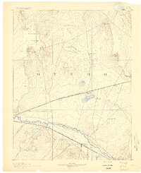
1891 · Catlin
USGS Topo · 1:125,000
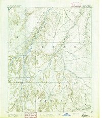
1891 · Higbee
USGS Topo · 1:125,000
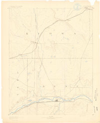
1891 · Las Animas
USGS Topo · 1:125,000
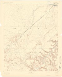
1891 · Timpas
USGS Topo · 1:125,000
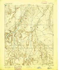
1893 · Higbee
USGS Topo · 1:125,000
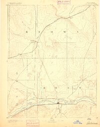
1893 · Las Animas
USGS Topo · 1:125,000
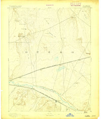
1893 · Catlin
USGS Topo · 1:125,000
1894 · Timpas
USGS Topo · 1:125,000
1953 · Cheraw
USGS Topo · 1:24,000
1953 · Cornelia
USGS Topo · 1:24,000