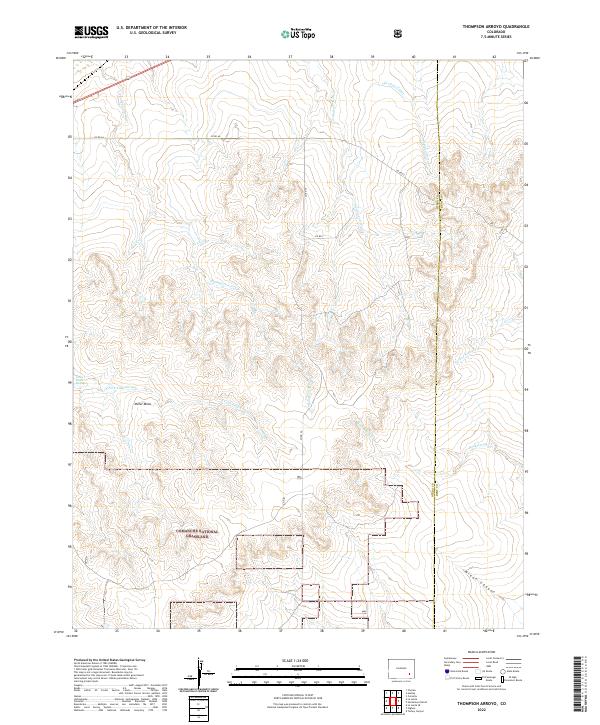
2022 Map of Thompson Arroyo
USGS Topo · Published 2022About this map
Comanche National Grassland encompasses the southern portion of this high plains landscape, where the open terrain is defined by a network of seasonal watercourses. The drainage of Thompson Arroyo serves as the central geographic feature, carving through the land alongside Vandiver Arroyo and Robinson Arroyo. These waterways illustrate the natural hydrologic patterns of the region, where water management is historically reflected in the presence of the Old Otero Canal to the north and the localized Circle I Waters Spring.
Find a feature on this map
23 named features on this map. Tap any name to fly to it.
Don’t see what you’re looking for? This feature index may not catch every label — zoom into the map to look around manually.
Map Details
Editions of this 2022 Thompson Arroyo Map
This is the sole edition of this map. No revisions or reprints were ever made.
Other maps of this area

1891 · Catlin
USGS Topo · 1:125,000

1891 · Higbee
USGS Topo · 1:125,000

1891 · Las Animas
USGS Topo · 1:125,000

1891 · Timpas
USGS Topo · 1:125,000

1893 · Higbee
USGS Topo · 1:125,000

1893 · Las Animas
USGS Topo · 1:125,000

1893 · Catlin
USGS Topo · 1:125,000

1894 · Timpas
USGS Topo · 1:125,000

1953 · Cheraw
USGS Topo · 1:24,000

1953 · Cornelia
USGS Topo · 1:24,000