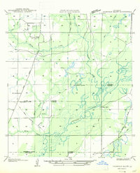
1947 Map of Thompson Bluff
USGS Topo · Published 1947About this map
The Calcasieu River meanders through this portion of Allen and Jefferson Davis Parishes, defining a landscape shaped by water and the waning timber industry. The map captures a transitional era where an Old Logging Railroad Grade and numerous sections of Old Road trace the paths of earlier extraction, even as State Highway No 251 begins to modernize local travel.
Find a feature on this map
18 named features on this map. Tap any name to fly to it.
Don’t see what you’re looking for? This feature index may not catch every label — zoom into the map to look around manually.
Map Details
Editions of this 1947 Thompson Bluff Map
This is the sole edition of this map. No revisions or reprints were ever made.
Other maps of this area
1935 · Moss Bluff
USGS Topo · 1:31,680
1935 · Gaytine
USGS Topo · 1:31,680
1935 · Longville
USGS Topo · 1:31,680
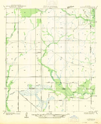
1947 · Gaytine
USGS Topo · 1:31,680
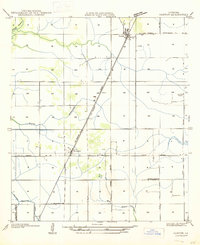
1947 · Fenton
USGS Topo · 1:31,680
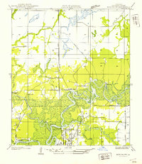
1947 · Moss Bluff
USGS Topo · 1:31,680
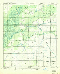
1947 · Hecker
USGS Topo · 1:31,680
1947 · Le Blanc
USGS Topo · 1:31,680
1947 · Edna
USGS Topo · 1:31,680
1947 · Reeves
USGS Topo · 1:31,680