2023 Map of Thompson
USGS Topo · Published 2023About this map
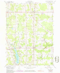
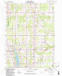
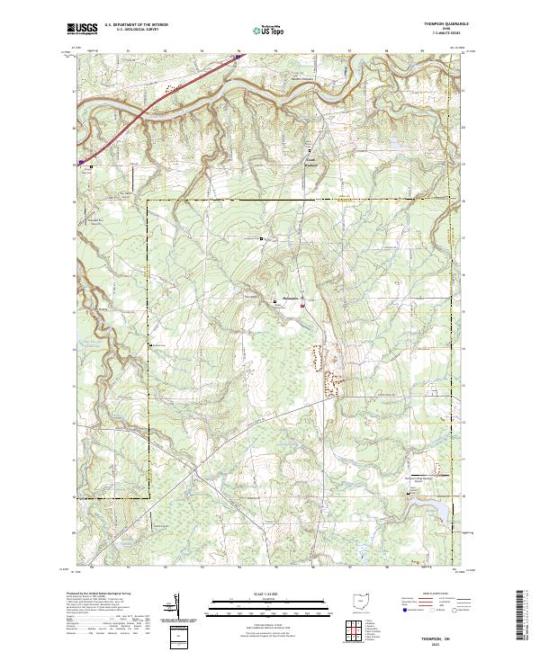
Thompson and South Madison anchor this landscape along the tri-county borders of Geauga, Lake, and Ashtabula. The area is defined by a dense network of watercourses, where the Grand River and Mill Creek carve through the terrain alongside smaller tributaries like Griswold Creek and Talcott Creek. This rural corridor is notable for its numerous aviation sites, including Sky Haven Airport, Pheasant Run Airport, and the Thompson Drag Raceway Airport, reflecting a mid-to-late 20th-century pattern of local recreational flight and racing infrastructure.
Find a feature on this map
92 named features on this map. Tap any name to fly to it.
Don’t see what you’re looking for? This feature index may not catch every label — zoom into the map to look around manually.
Map Details
Editions of this 2023 Thompson Map
This is the sole edition of this map. No revisions or reprints were ever made.
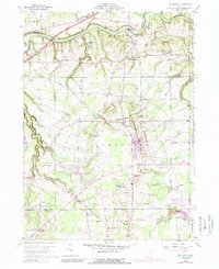
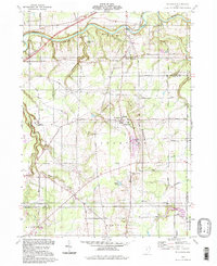
Historical Maps of Montville Township Through Time
6 maps found