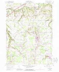
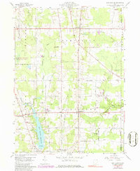
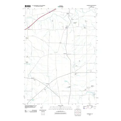
1960 Map of Thompson
USGS Topo · Published 1989About this map
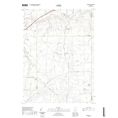
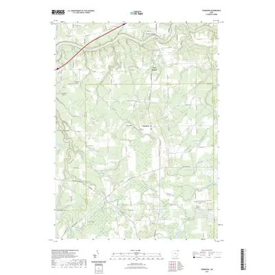
The Ledges form a dramatic sandstone escarpment that defines the landscape of northeastern Geauga County. This geologic prominence separates the Grand River drainage to the north from the rolling highlands of Thompson and Montville. The map captures a transition period in rural Ohio, where traditional community centers like Leroy Center and South Madison maintain their distinct identities alongside newer 1970s developments, including a Trailer Park near the Geauga and Ashtabula county line.
Find a feature on this map
44 named features on this map. Tap any name to fly to it.
Don’t see what you’re looking for? This feature index may not catch every label — zoom into the map to look around manually.
Map Details
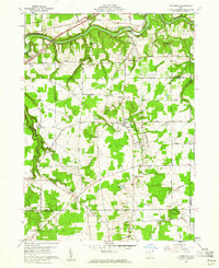
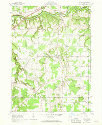
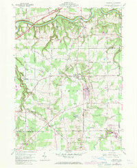
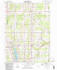
Editions of this 1960 Thompson Map
4 editions found
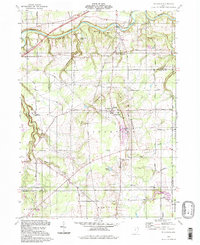
Historical Maps of Hambden Township Through Time
14 maps found
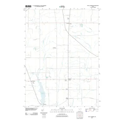
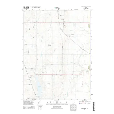
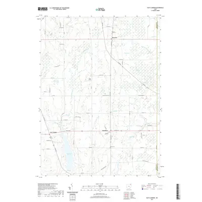
1959 East Claridon
Geauga County, OH
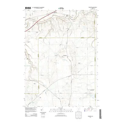
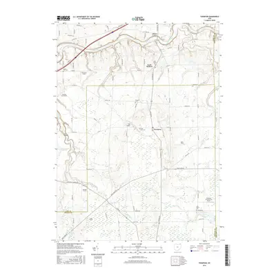
1960 Thompson
Geauga County, OH
1994 East Claridon
Geauga County, OH
1994 Thompson
Geauga County, OH
2010 East Claridon
Geauga County, OH
2010 Thompson
Geauga County, OH
2013 East Claridon
Geauga County, OH
2013 Thompson
Geauga County, OH
2016 East Claridon
Geauga County, OH
2016 Thompson
Geauga County, OH
2019 East Claridon
Geauga County, OH
2019 Thompson
Geauga County, OH
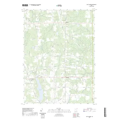
2023 East Claridon
Geauga County, OH
2023 Thompson
Geauga County, OH