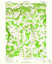
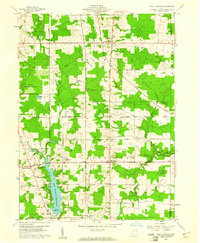
1960 Map of Thompson
USGS Topo · Published 1961About this map
The Grand River carves a deep valley through the northern landscape of this 1960 survey, defining the rugged geography of the The Edges and the depths of Hell Hollow. These dramatic elevation changes near Thompson created a unique corridor for early infrastructure, including an Airway Beacon and a Gaging Station along the riverbank. This area is situated within the historic Connecticut Western Reserve, a fact reflected in the rigid grid of the road network and the early private subdivision of the land lines.
Find a feature on this map
46 named features on this map. Tap any name to fly to it.
Don’t see what you’re looking for? This feature index may not catch every label — zoom into the map to look around manually.
Map Details
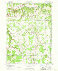
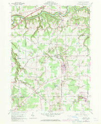
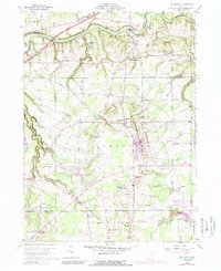
Editions of this 1960 Thompson Map
4 editions found
Other maps of this area

1904 · Chardon
USGS Topo · 1:62,500

1905 · Ashtabula
USGS Topo · 1:62,500

1905 · Perry
USGS Topo · 1:62,500

1905 · Jefferson
USGS Topo · 1:62,500

1906 · Chardon
USGS Topo · 1:62,500

1907 · Jefferson
USGS Topo · 1:62,500

1950 · Cleveland
USGS Topo · 1:250,000

1953 · Chardon
USGS Topo · 1:24,000

1956 · Cleveland
USGS Topo · 1:250,000
1959 · East Claridon
USGS Topo · 1:24,000