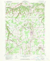
1960 Map of Thompson
USGS Topo · Published 1971About this map
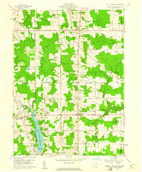
The Ledges rise prominently east of Thompson, defining the local topography as the terrain descends toward Mill Creek and Trumbull Creek. This survey captures the rural landscape of Geauga County in the mid-twentieth century, showing a network of established family roads like Doty Road and Moseley Road. The area is marked by a blend of institutional and recreational sites, including the Ledgemont High Sch, Thompson Lodge Township Park, and a Boy Scout Camp near the Grand River. Grounded in the Connecticut Western Reserve land lines, the map reflects a community defined by its township centers, such as Leroy Center, and local religious hubs like St Patricks Ch and Grace Ch. To the north, the winding course of the Grand River cuts through Stony Glen, providing a sharp contrast to the more uniform agricultural and residential parcels found farther south.
Find a feature on this map
53 named features on this map. Tap any name to fly to it.
Don’t see what you’re looking for? This feature index may not catch every label — zoom into the map to look around manually.
Map Details
Editions of this 1960 Thompson Map
4 editions found
Other maps of this area

1904 · Chardon
USGS Topo · 1:62,500

1905 · Ashtabula
USGS Topo · 1:62,500

1905 · Perry
USGS Topo · 1:62,500

1905 · Jefferson
USGS Topo · 1:62,500

1906 · Chardon
USGS Topo · 1:62,500

1907 · Jefferson
USGS Topo · 1:62,500

1950 · Cleveland
USGS Topo · 1:250,000

1953 · Chardon
USGS Topo · 1:24,000

1956 · Cleveland
USGS Topo · 1:250,000
1959 · East Claridon
USGS Topo · 1:24,000