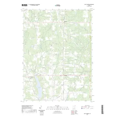
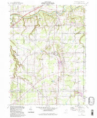
2023 Map of East Claridon
USGS Topo · Published 2023About this map
East Claridon, Montville, and Huntsburg anchor this rural Geauga County landscape, where the headwaters of several critical Northeast Ohio drainage systems emerge. The western portion of the map is defined by the East Branch Reservoir and the meandering East Branch Cuyahoga River, while the eastern terrain transitions into the complex creek networks of Phelps Creek and its various branches.
Find a feature on this map
60 named features on this map. Tap any name to fly to it.
Don’t see what you’re looking for? This feature index may not catch every label — zoom into the map to look around manually.
Map Details
Editions of this 2023 East Claridon Map
This is the sole edition of this map. No revisions or reprints were ever made.
Historical Maps of Hambden Township Through Time
14 maps found
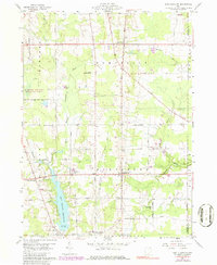
1959 East Claridon
Geauga County, OH
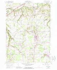
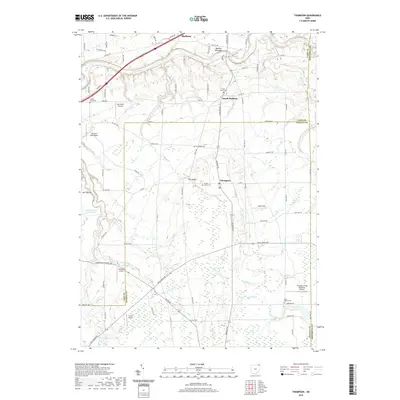
1960 Thompson
Geauga County, OH
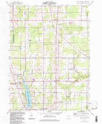
1994 East Claridon
Geauga County, OH
1994 Thompson
Geauga County, OH
2010 East Claridon
Geauga County, OH
2010 Thompson
Geauga County, OH
2013 East Claridon
Geauga County, OH
2013 Thompson
Geauga County, OH
2016 East Claridon
Geauga County, OH
2016 Thompson
Geauga County, OH
2019 East Claridon
Geauga County, OH
2019 Thompson
Geauga County, OH
2023 East Claridon
Geauga County, OH
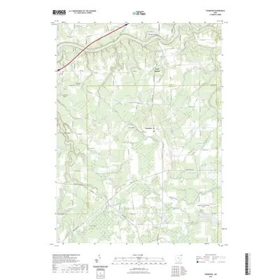
2023 Thompson
Geauga County, OH
Featured Locations
- Mesopotamia Township, OH
- Burton Township, OH
- Hambden Township, OH
- Hartsgrove Township, OH
- Windsor Township, OH