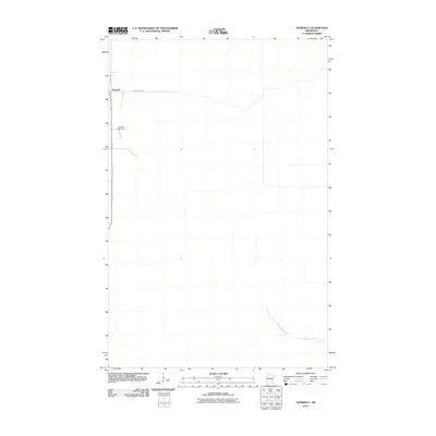
2010 Map of Thorhult
USGS Topo · Published 2010About this map
Thorhult is the primary settlement on this Northwoods landscape, situated at the junction of County Hwy 42 and Roen Rd NW. The topography is defined by the low-lying wetlands of Beltrami County, where the meandering Manomin Creek flows through the southeastern portion of the quadrangle. For those researching local family history, the Rosebud Cemetery sits just south of the main settlement, providing a localized point of interest for genealogical study. The map illustrates a sparse, rural infrastructure characteristic of this region of Minnesota, where straight-line roadways contrast with the organic drainage patterns of the creek system.
Find a feature on this map
5 named features on this map. Tap any name to fly to it.
Don’t see what you’re looking for? This feature index may not catch every label — zoom into the map to look around manually.
Map Details
Editions of this 2010 Thorhult Map
This is the sole edition of this map. No revisions or reprints were ever made.
Other maps of this area
1918 · F
USGS Topo · 1:62,500
1918 · Malcolm
USGS Topo · 1:62,500
1918 · Jelle
USGS Topo · 1:62,500
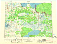
1954 · Roseau
USGS Topo · 1:250,000
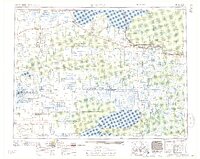
1957 · Roseau
USGS Topo · 1:250,000
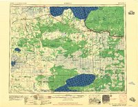
1958 · Roseau
USGS Topo · 1:250,000
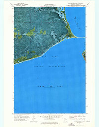
1973 · Manomin Creek SE
USGS Topo · 1:24,000
1973 · Mosquito Creek
USGS Topo · 1:24,000
1973 · Manomin Creek
USGS Topo · 1:24,000
1973 · Jelle NE
USGS Topo · 1:24,000