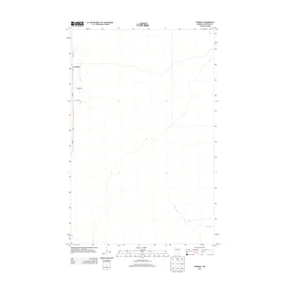
2013 Map of Thorhult
USGS Topo · Published 2013About this map
Thorhult anchors the northwest corner of this Beltrami County landscape, situated along a north-south roadway near the Rosebud Cem. The terrain is characterized by the subtle drainage patterns typical of northern Minnesota, with the meandering path of Manomin Cr visible in the southeastern portion of the quadrangle. Local transportation is defined by a modest grid of thoroughfares, including Roen Rd NW and Van Pelt St, which provide access to the dispersed homesteads and natural clearings of the region. This 2013 survey illustrates the sparse, rural nature of the area, where human settlement is concentrated in small pockets amidst a larger network of stream beds and varying elevation contours.
Find a feature on this map
5 named features on this map. Tap any name to fly to it.
Don’t see what you’re looking for? This feature index may not catch every label — zoom into the map to look around manually.
Map Details
Editions of this 2013 Thorhult Map
This is the sole edition of this map. No revisions or reprints were ever made.
Other maps of this area

1918 · F
USGS Topo · 1:62,500

1918 · Malcolm
USGS Topo · 1:62,500

1918 · Jelle
USGS Topo · 1:62,500

1954 · Roseau
USGS Topo · 1:250,000

1957 · Roseau
USGS Topo · 1:250,000

1958 · Roseau
USGS Topo · 1:250,000

1973 · Manomin Creek SE
USGS Topo · 1:24,000

1973 · Mosquito Creek
USGS Topo · 1:24,000

1973 · Manomin Creek
USGS Topo · 1:24,000

1973 · Jelle NE
USGS Topo · 1:24,000