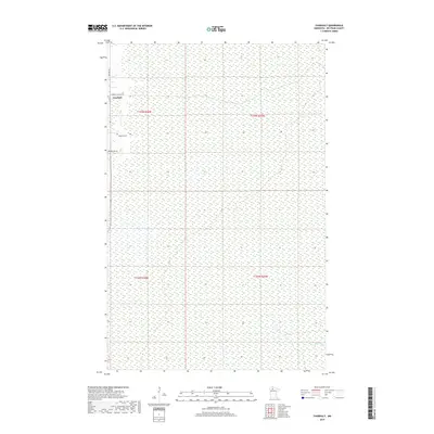
2019 Map of Thorhult
USGS Topo · Published 2019About this map
Thorhult serves as the primary point of settlement in this northern Minnesota landscape, situated amidst the extensive wetland systems of Beltrami County. The proximity of Rosebud Cem just south of the main settlement provides a specific point of interest for those researching local family histories and early community footprints in this remote area. The terrain is characterized by a high density of marshes and swamps, through which Manomin Cr flows in the southeastern corner. A sparse network of roads, including Thorhult Rd NW and Van Pelt Rd NW, provides the only modern access through the sections of the Red Lake State Forest region, illustrating the challenges of travel and land management in this water-rich environment.
Find a feature on this map
10 named features on this map. Tap any name to fly to it.
Don’t see what you’re looking for? This feature index may not catch every label — zoom into the map to look around manually.
Map Details
Editions of this 2019 Thorhult Map
This is the sole edition of this map. No revisions or reprints were ever made.
Other maps of this area

1918 · F
USGS Topo · 1:62,500

1918 · Malcolm
USGS Topo · 1:62,500

1918 · Jelle
USGS Topo · 1:62,500

1954 · Roseau
USGS Topo · 1:250,000

1957 · Roseau
USGS Topo · 1:250,000

1958 · Roseau
USGS Topo · 1:250,000

1973 · Manomin Creek SE
USGS Topo · 1:24,000

1973 · Mosquito Creek
USGS Topo · 1:24,000

1973 · Manomin Creek
USGS Topo · 1:24,000

1973 · Jelle NE
USGS Topo · 1:24,000