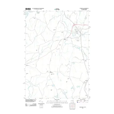
2012 Map of Thorn Hill
USGS Topo · Published 2012About this map
The Poultney River snakes along the border between New York and Vermont, defining the drainage for a landscape of prominent peaks and scattered agricultural settlements. In this 2012 survey, the area around Low Hampton and East Whitehall is characterized by its high density of small burial grounds, including the Old North Half Cemetery and the Old South Half Cemetery. The terrain is marked by significant elevations like Hampton Hill and Ore Bed Hill, the latter of which alludes to the region's mineral history. Water bodies such as Crystal Lake and Mettawee River anchor the southern portion of the map, while the northern reaches are connected by Coggman Bridge over the river. This modern study provides an inventory of the family-named landmarks and rural infrastructure that persist in this borderland valley.
Find a feature on this map
76 named features on this map. Tap any name to fly to it.
Don’t see what you’re looking for? This feature index may not catch every label — zoom into the map to look around manually.
Map Details
Editions of this 2012 Thorn Hill Map
This is the sole edition of this map. No revisions or reprints were ever made.
Other maps of this area

1893 · Fort Ann
USGS Topo · 1:62,500

1893 · Whitehall
USGS Topo · 1:62,500

1894 · Pawlet
USGS Topo · 1:62,500

1895 · Whitehall
USGS Topo · 1:62,500

1895 · Fort Ann
USGS Topo · 1:62,500

1895 · Castleton
USGS Topo · 1:62,500

1897 · Pawlet
USGS Topo · 1:62,500

1897 · Castleton
USGS Topo · 1:62,500

1898 · Whitehall
USGS Topo · 1:62,500

1898 · Fort Ann
USGS Topo · 1:62,500