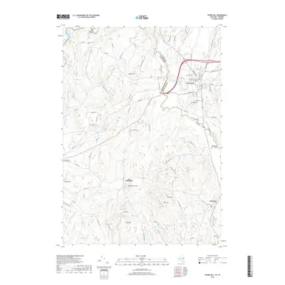
2019 Map of Thorn Hill
USGS Topo · Published 2019About this map
The Poultney River snakes along the state line between New York and Vermont, anchoring a landscape defined by small valley settlements and high-elevation landmarks. In the northern reaches, the village of Fair Haven sits just east of Low Hampton, while the rural hamlet of East Whitehall is positioned further south near the base of Bartholomew Hill. This terrain is deeply marked by local heritage, featuring a high density of burial grounds including the Old South Half Cem, Old North Half Cem, and the riverside Hampton Flats Cem.
Find a feature on this map
92 named features on this map. Tap any name to fly to it.
Don’t see what you’re looking for? This feature index may not catch every label — zoom into the map to look around manually.
Map Details
Editions of this 2019 Thorn Hill Map
This is the sole edition of this map. No revisions or reprints were ever made.
Other maps of this area

1893 · Fort Ann
USGS Topo · 1:62,500

1893 · Whitehall
USGS Topo · 1:62,500

1894 · Pawlet
USGS Topo · 1:62,500

1895 · Whitehall
USGS Topo · 1:62,500

1895 · Fort Ann
USGS Topo · 1:62,500

1895 · Castleton
USGS Topo · 1:62,500

1897 · Pawlet
USGS Topo · 1:62,500

1897 · Castleton
USGS Topo · 1:62,500

1898 · Whitehall
USGS Topo · 1:62,500

1898 · Fort Ann
USGS Topo · 1:62,500