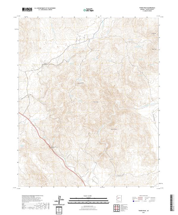
2021 Map of Thorn Peak
USGS Topo · Published 2021About this map
Thorn Peak and the surrounding high desert summits dominate this Yavapai County terrain, where water sources like Moonshine Spring and Quail Spring dictated the movements of early travelers and cattlemen. The landscape is defined by its drainage systems, including the complex course of the Santa Maria River North Fork and the deep incisions of Skunk Canyon. Ranching infrastructure is visible through numerous improvements such as Pastore Tank and Crosby Mountain Tank, reflecting the ongoing agricultural utility of these arid lands. Modern access is represented by Hillbilly Rd, which traverses a topography that reaches its heights at Hayes Peak and Whitecap Peak. The transition between higher elevations and the edge of the Mojave Desert provides a clear view of the geographic variety within this section of Arizona.
Find a feature on this map
35 named features on this map. Tap any name to fly to it.
Don’t see what you’re looking for? This feature index may not catch every label — zoom into the map to look around manually.
Map Details
Editions of this 2021 Thorn Peak Map
This is the sole edition of this map. No revisions or reprints were ever made.
Other maps of this area

1923 · Signal
USGS Topo · 1:250,000

1942 · Signal
USGS Topo · 1:250,000

1945 · Bagdad
USGS Topo · 1:62,500

1948 · Bagdad
USGS Topo · 1:62,500

1950 · Prescott
USGS Topo · 1:250,000

1954 · Prescott
USGS Topo · 1:250,000

1958 · Prescott
USGS Topo · 1:250,000

1959 · Prescott
USGS Topo · 1:250,000

1960 · Prescott
USGS Topo · 1:250,000

1965 · Prescott
USGS Topo · 1:250,000