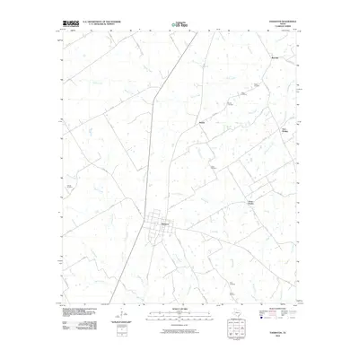
2010 Map of Thornton
USGS Topo · Published 2010About this map
The town of Thornton serves as the central hub of this Limestone County landscape, where a dense network of country roads like FM 147 and FM 1246 connect outlying communities. The settlement pattern is defined by several distinct areas such as Davis Prairie, Beulah, and Red Hill, each situated amidst a complex system of local waterways. Numerous family and community burial grounds, including Tidwell Cemetery, Cobb Cemetery, and Pippin Cemetery, are preserved across the terrain, offering significant primary data for genealogists tracing regional lineages.
Find a feature on this map
61 named features on this map. Tap any name to fly to it.
Don’t see what you’re looking for? This feature index may not catch every label — zoom into the map to look around manually.
Map Details
Editions of this 2010 Thornton Map
This is the sole edition of this map. No revisions or reprints were ever made.
Other maps of this area

1920 · Mexia
USGS Topo · 1:62,500

1954 · Waco
USGS Topo · 1:250,000

1955 · Waco
USGS Topo · 1:250,000

1957 · Groesbeck
USGS Topo · 1:62,500

1960 · Groesbeck
USGS Topo · 1:24,000

1965 · Kosse West
USGS Topo · 1:24,000

1966 · Thornton
USGS Topo · 1:24,000
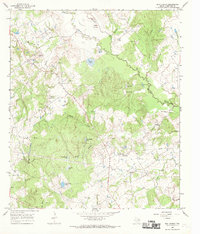
1966 · Box Church
USGS Topo · 1:24,000
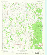
1966 · Fallon
USGS Topo · 1:24,000
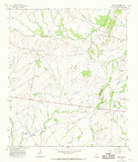
1966 · Ben Hur
USGS Topo · 1:24,000